
3/03/07
 This is
one of the "easier sections". Bobby waits for Chester
This is
one of the "easier sections". Bobby waits for Chester
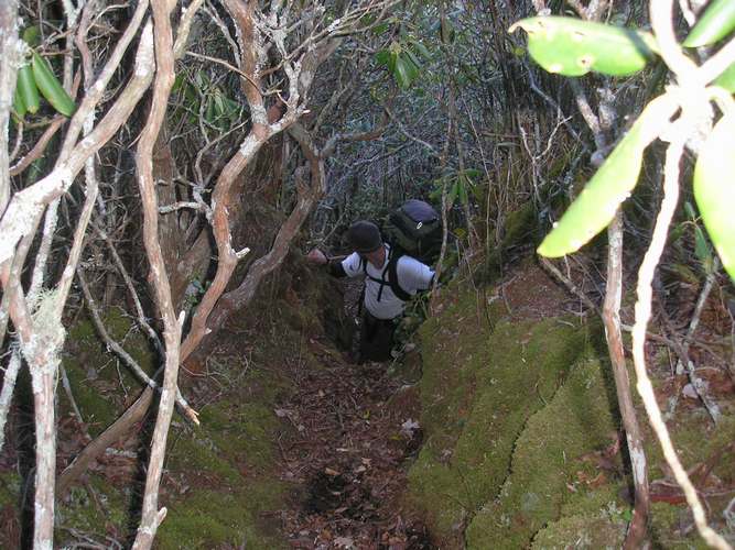
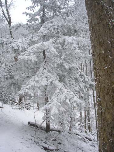
 I had
to lift the camera over the rhodo thicket to capture this shot. On
saturday the wind was blowing in a severe cold front.
I had
to lift the camera over the rhodo thicket to capture this shot. On
saturday the wind was blowing in a severe cold front.
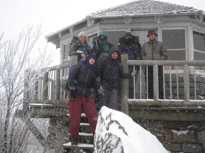
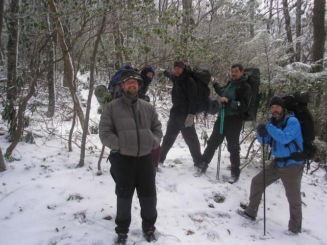
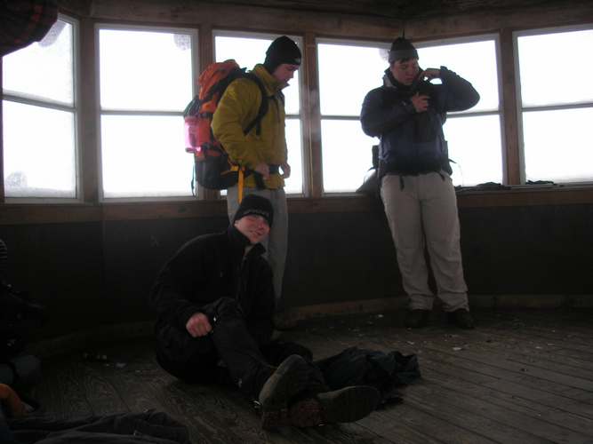 We
joined some fellers at the tower.
We
joined some fellers at the tower.
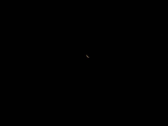
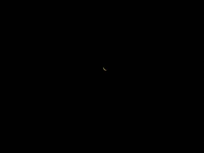

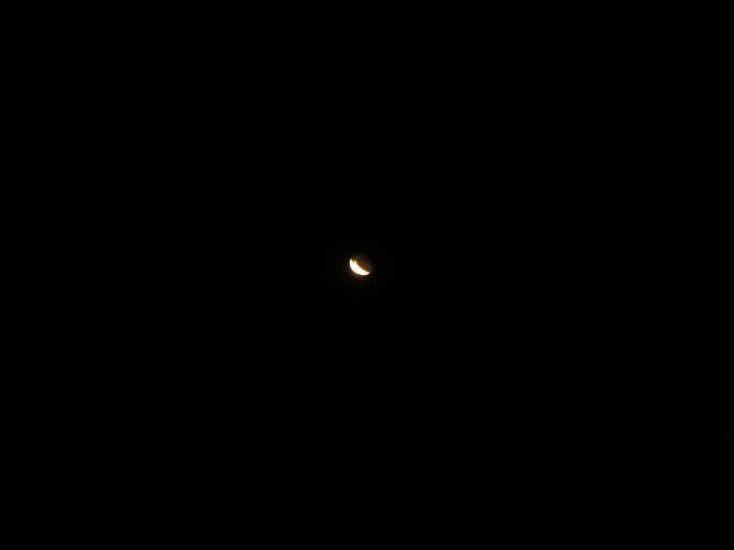
THE LUNAR ECLIPSE VIEWED FROM CAMMERER TOWER
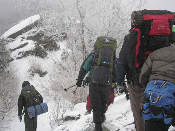
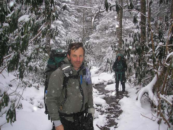
 Some
serious snow overnight. Wayne decides to bivy.
Some
serious snow overnight. Wayne decides to bivy.
 Descending the precipice into 6 inches of soft powder.
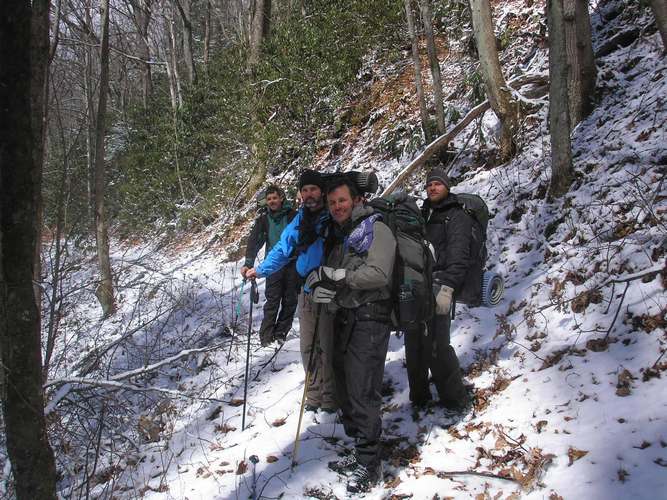
 The
descent was via the AT to Lower Mt. Cammerer Trail. We had enough of the Manway.
The thought of descending through a rhodo thicket with a spring-loaded backpack
was more than repulsive to this hiker.
The
descent was via the AT to Lower Mt. Cammerer Trail. We had enough of the Manway.
The thought of descending through a rhodo thicket with a spring-loaded backpack
was more than repulsive to this hiker.
 In case
you are curious about the start of the manway, Highlander associates point the
way. Wayne thinks, I should have brought a sleeping bag. John's coat
is niiiice, though. Don't know about the thrift store vintage hat.
In case
you are curious about the start of the manway, Highlander associates point the
way. Wayne thinks, I should have brought a sleeping bag. John's coat
is niiiice, though. Don't know about the thrift store vintage hat.
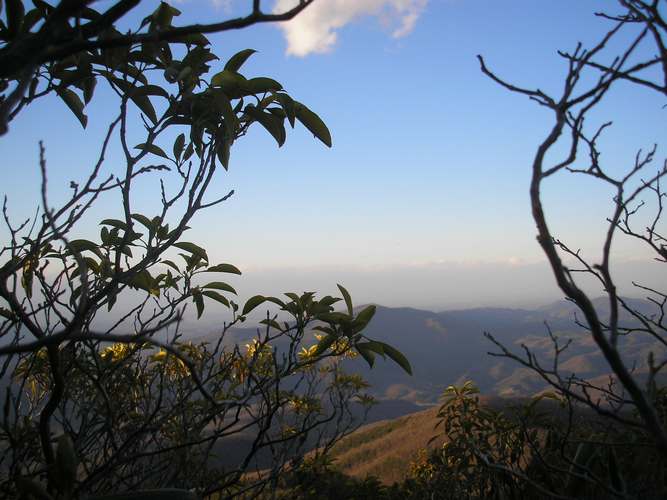
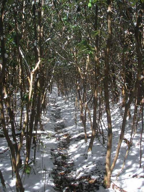
 The sun
warms as we drop out of the snowline at 1300 feet.
The sun
warms as we drop out of the snowline at 1300 feet.
 Great
Hair day. Dave's boots are still waterproof
Great
Hair day. Dave's boots are still waterproof
 This trail
led to Wayne's place adjoining the park. I beat my poor pack to shreds on
this stuff. To give you an idea of what we did, here are the trail stats:
This trail
led to Wayne's place adjoining the park. I beat my poor pack to shreds on
this stuff. To give you an idea of what we did, here are the trail stats:
WayneWay to Lower Cammerer Trail: 2 miles.
Lower Cammerer Trail to start of GroundHog Ridge Manway: 3 miles
Manway to Mt. Cammerer: 2 miles. Overall ascent: 3700 feet.
Descent: Appalachian Trail to Lower Cammerer Trail. Distance approx 8 miles.
I STRONGLY RECOMMEND AGAINST CARRYING A BACKPACK ON THE GROUNDHOG RIDGE MANWAY.