


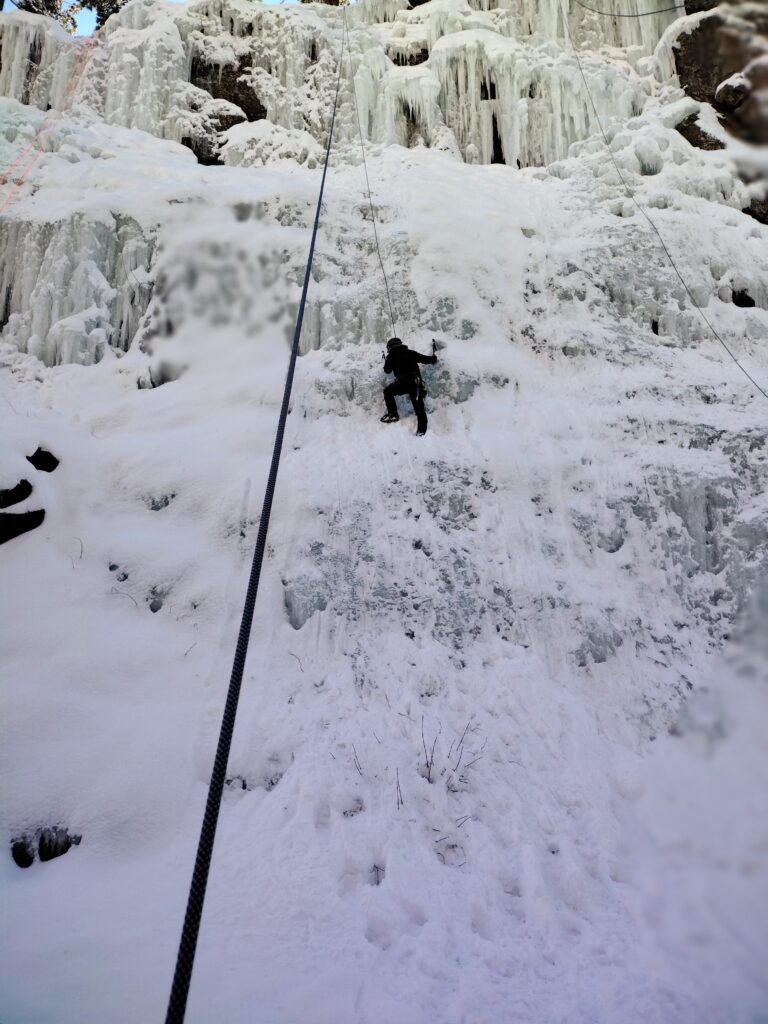
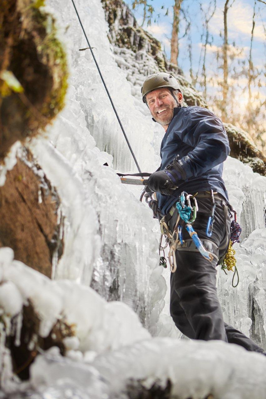
Ouray. Bezerker WI 5
Brittany caught me on my new Colorado favorite.
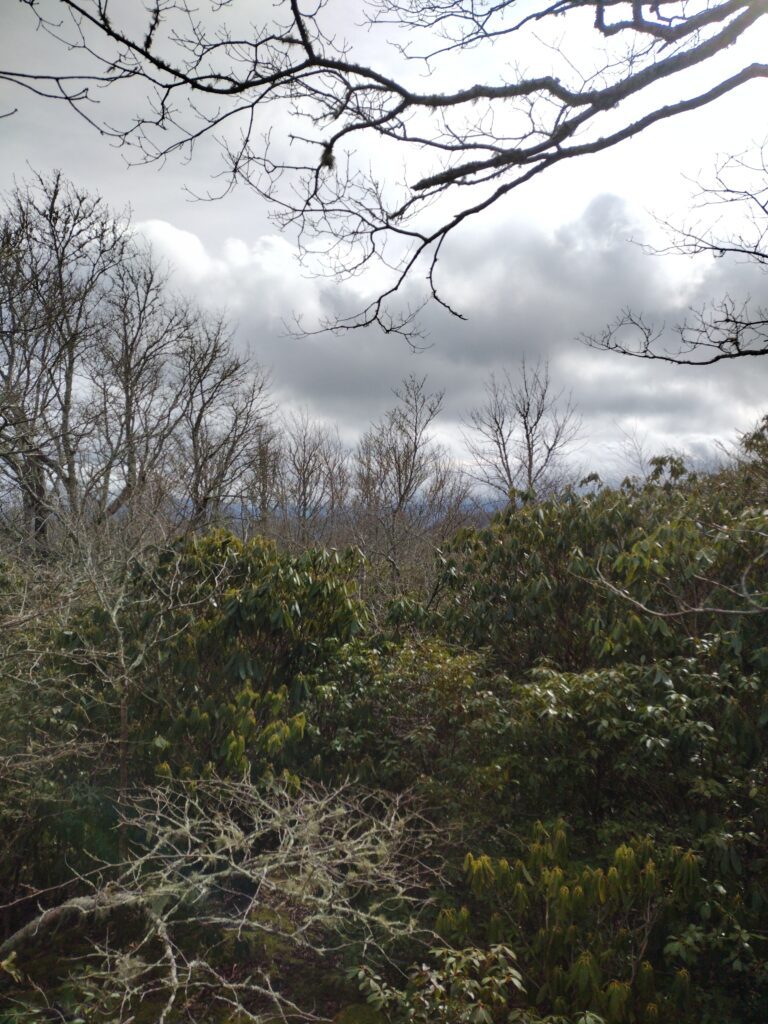
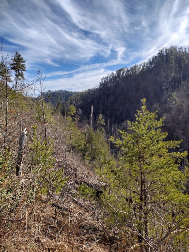
Blanket mountain via Jake’s Creek.
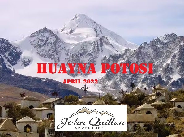
Join us in Bolivia in late April
Abrams
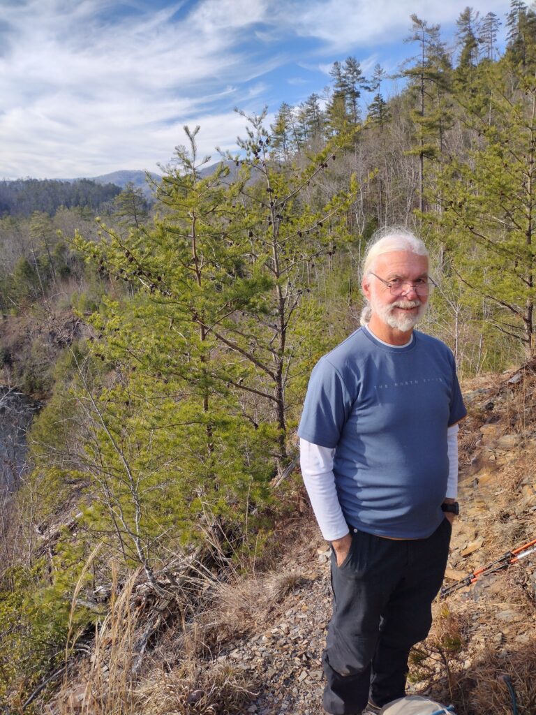
Myers put this one together and epic it was.
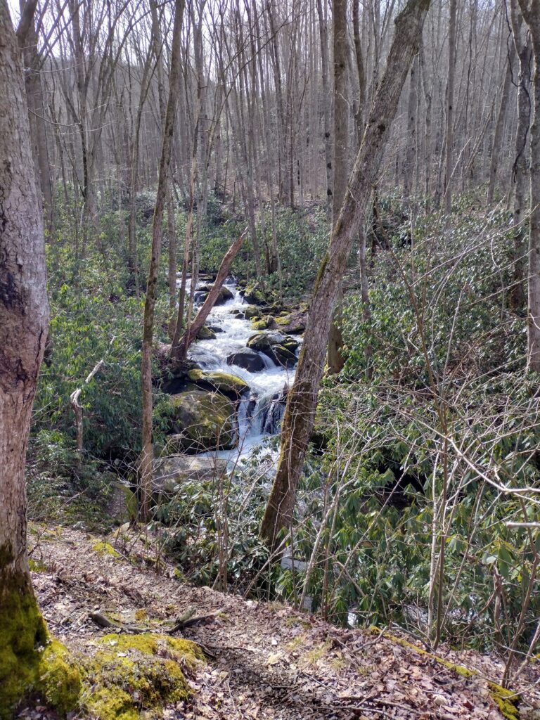
When I started out Friday morning three river otters were frolicking in the creek. Here is a link to the video I shot on my tiktok page. https://www.tiktok.com/t/ZTRpT99bt/
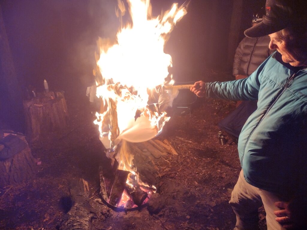
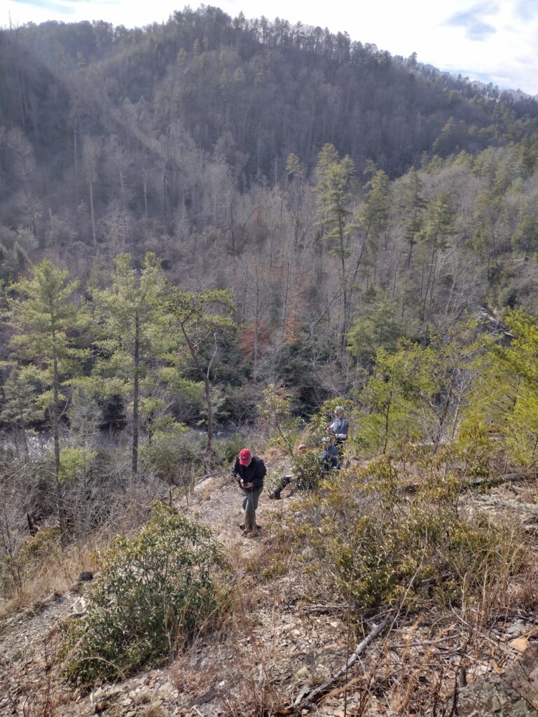
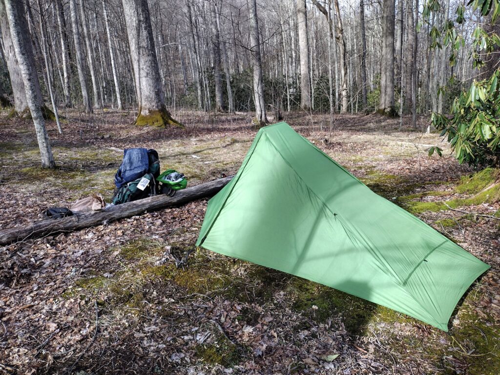
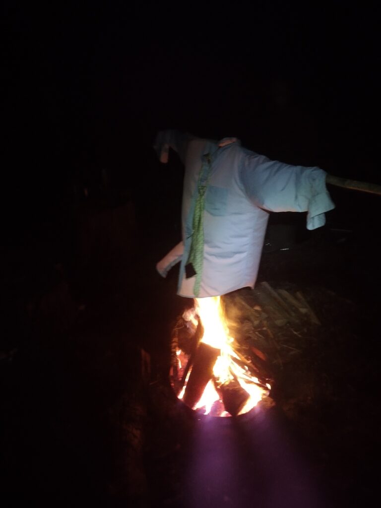
then there’s the curious sase of the howls in the night. I heard a cat crawling around my tent the first night. But no one else did. Then the second night this cat was up in a tree around the campfire menacing us. But it wasn’t really a cat. You’ll have to ask Dempsey about that.
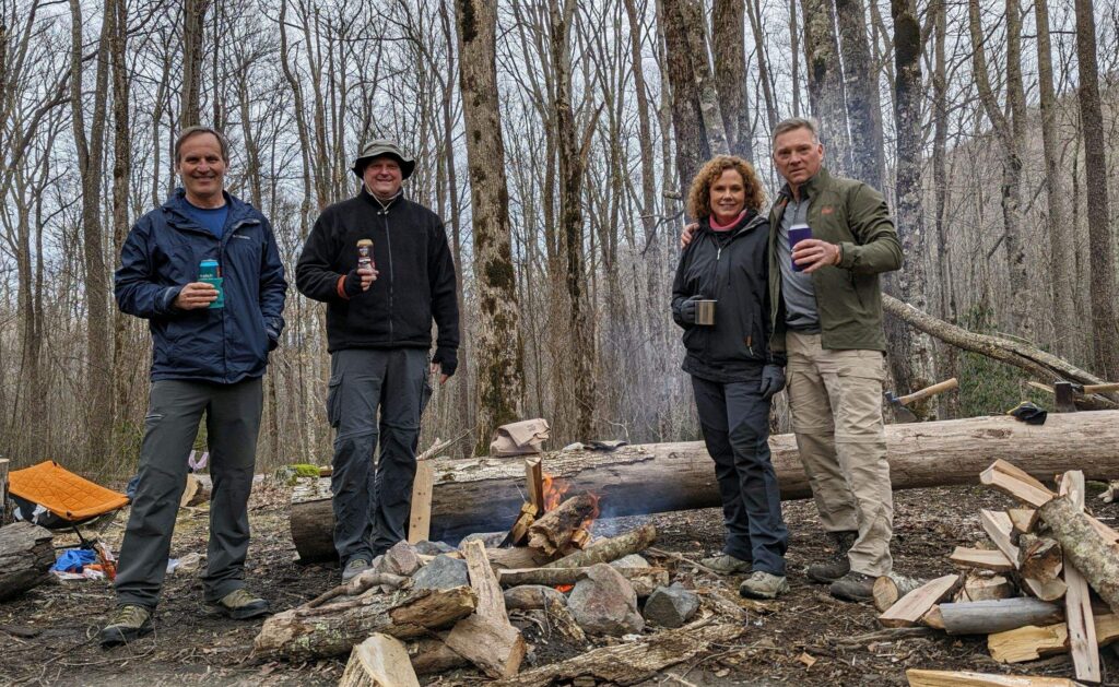
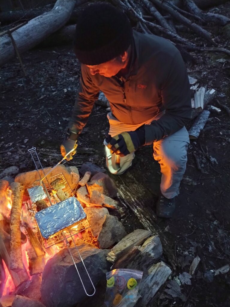
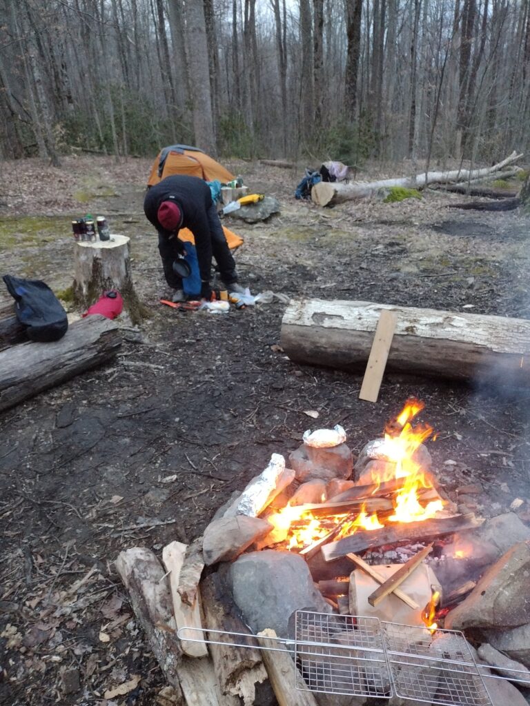
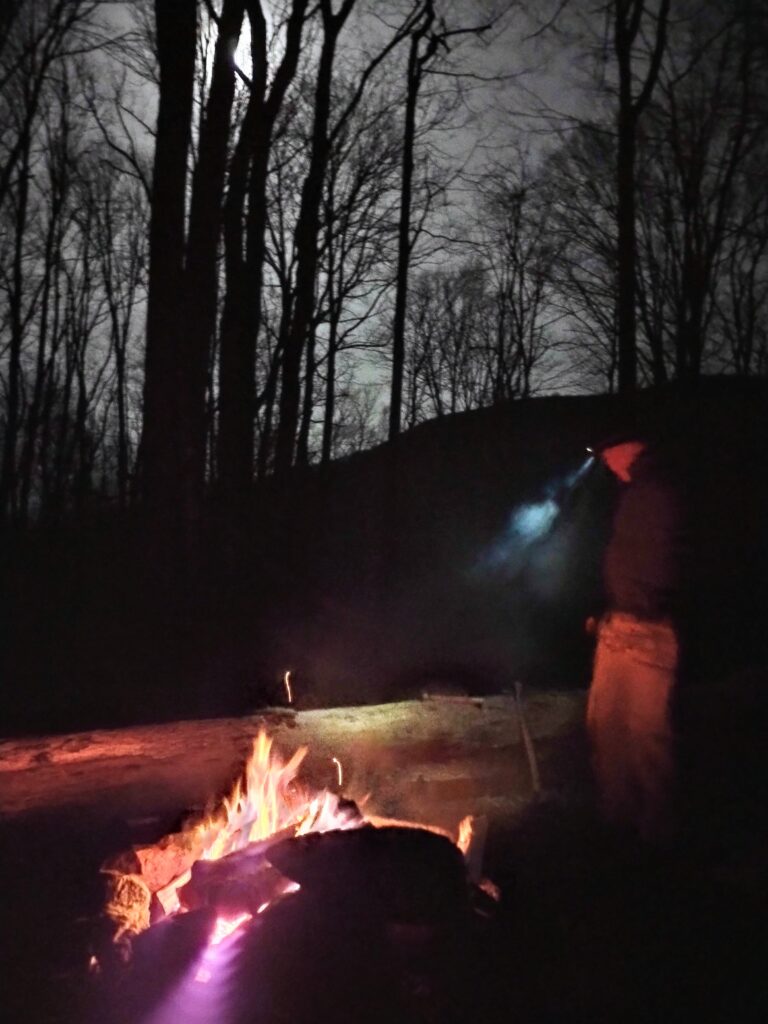
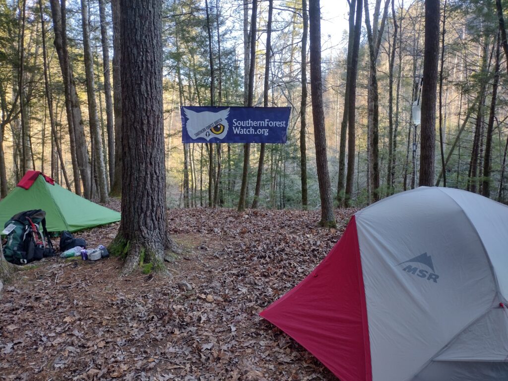
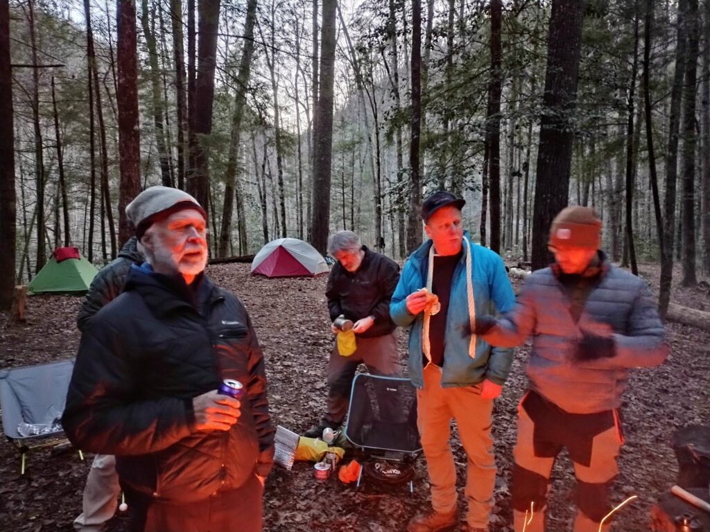
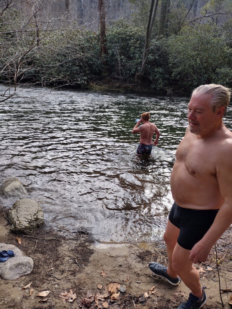
Paul and Evan and David get the polar plunge awards. Despite all the Smoky pine we had an excellent fire. And great company and a beautiful weekend.
I’m leading a trip down to Bolivia in April if you are interested, check out this link for details.
ouray
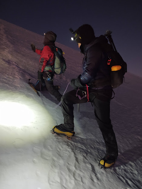
we came back for a long weekend to get some laps on the ice. Ouray is a great place to hone your climbing skills. I drove to Atlanta, met Brian and we got a buddy pass for a direct flight to Montrose.
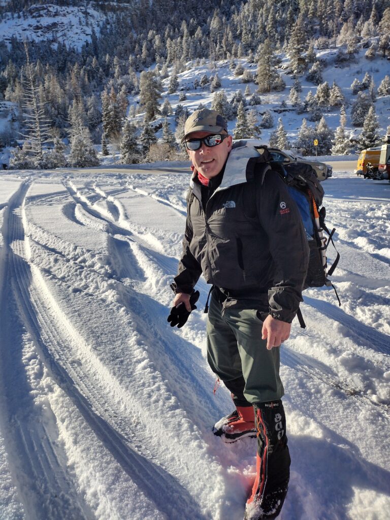
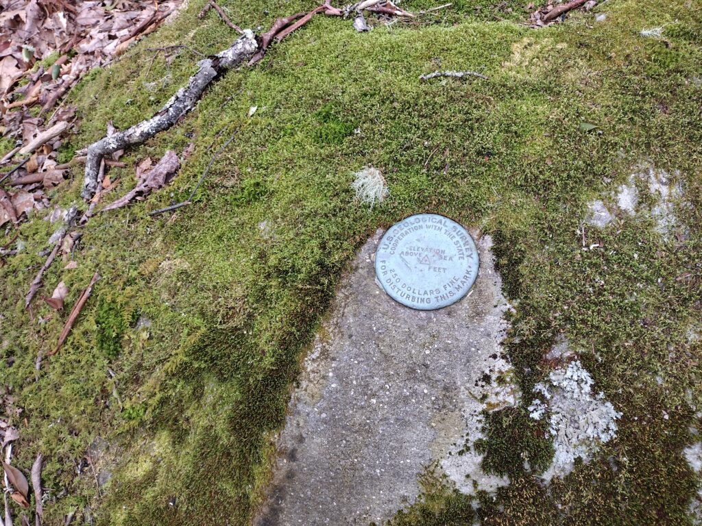
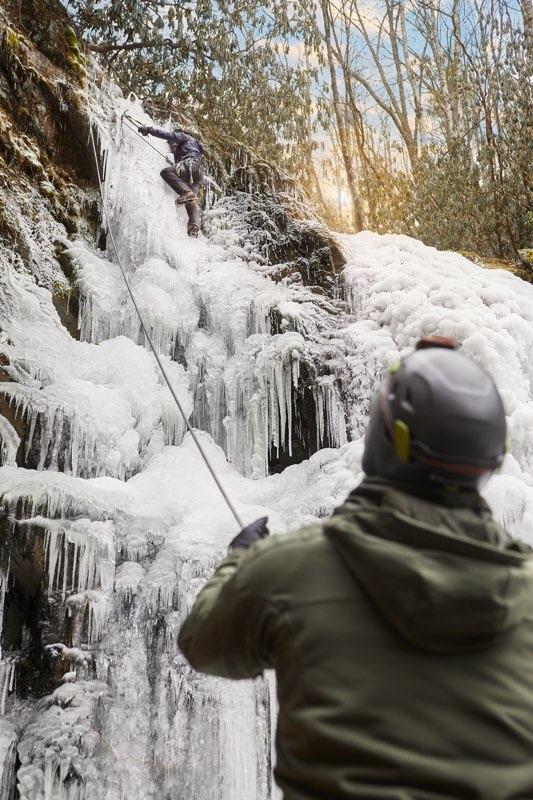
Spruce Flats Ice
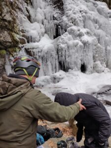
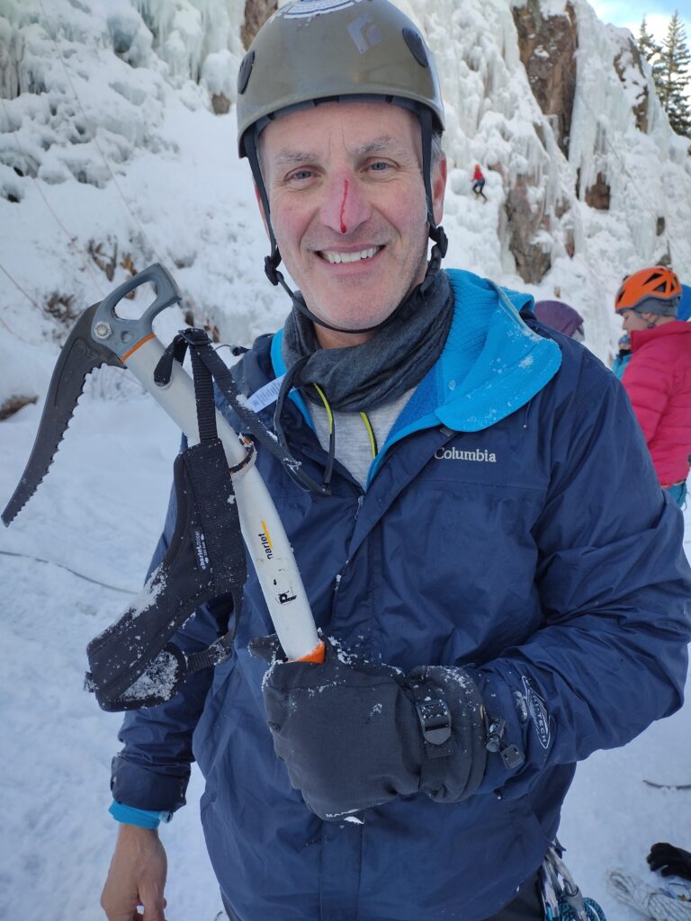
It just so happens that good ole “Johnny on the Trail” showed up. I talked him into taking his first swings on ice and he made this video of the event.
I knew the first time these falls froze solid I was going to be on it. And we made what I think to be the first ascent of Spruce Flats falls Frozen on Monday, December 26, 2022. Judah, John, and Gloria joined me on this totally fantastic day. We were able to get in laps. It was their first time on the ice and may never get that cold again in the Smokies. So I feel truly blessed. I’m going to rate the climb as a water ice 2. We have a lot of waterfalls in our area. I hope for another cold snap so we can explore them for climbing potential.
I hope everyone had a fantastic Christmas and prosperous New Year.
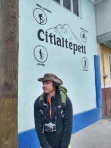
Orizaba
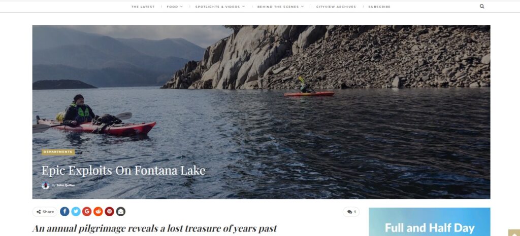
Here is a link to the Cityview Story online only.
https://cityviewmag.com/atop-mexicos-iztaccihuatl/
Summiting the Mexican Volcanoes with a Knoxville Crew
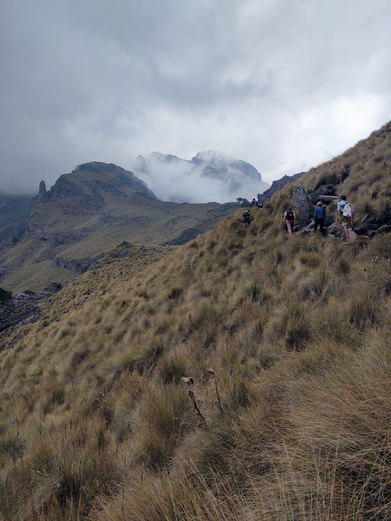
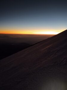
Popocatepetl was blowing smoke rings like a fifties French movie star. This volcano cut a menacing triangle across the entirety of Mexico with a halo crown of billowing fumes, off limits to all aspiring climbers. It rumbled occasionally like my stomach as we gained elevation on neighboring Iztaccihuatl, “Popo’s” ill- fated paramour. Legend says that Iztaccihuatl committed suicide after learning of the death her beloved Popo in battle. My group of eight threaded through a cloud forest to an elevation of 13,800 feet. Here we bathed in the evolutionary landscape that peeked beneath errant rays of sun.
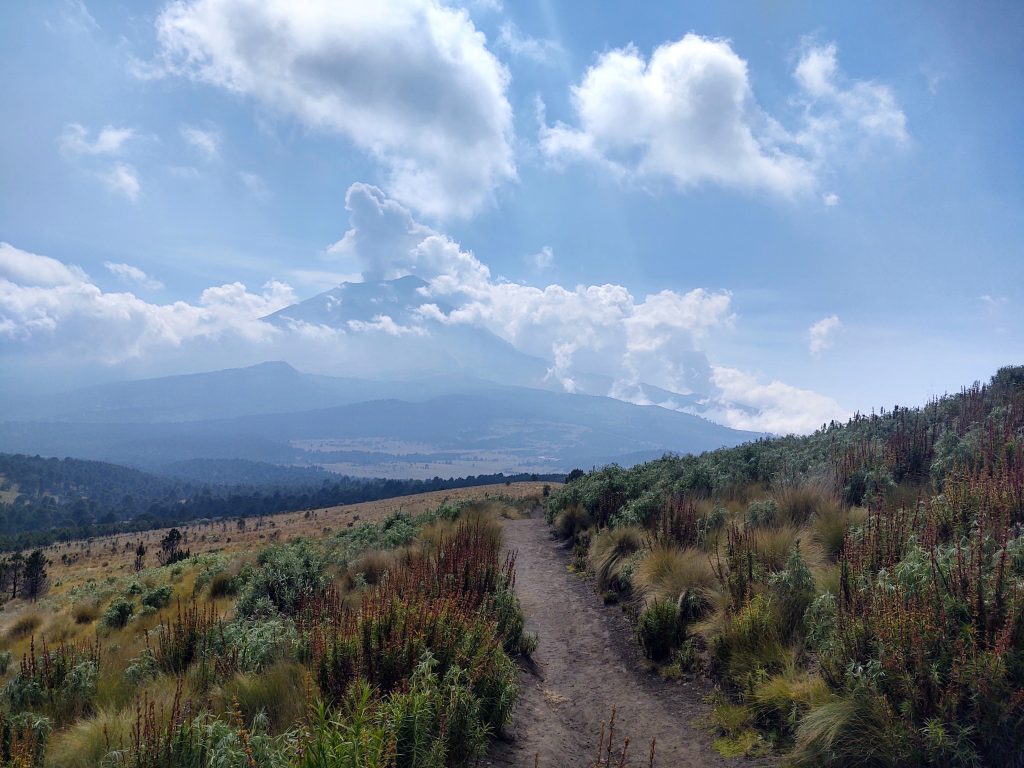
We had already summited La Malinche, clearly visible across the plain. Locals named her after the Aztec lover of explorer Hernando Cortes who fathered one of her children. My own children (clients) were feeling the effects of altitude this day as we transitioned from the tree line to scree field. After gaining a rocky precipice and negotiating some class 3 scrambling at 14,400 feet, our team was higher than any peak in the continental US. Kerina Mitchell spied our ultimate objective in the far distance, Citlaltepetl, also known as Orizaba. Snow was all we could register on her back across the high plains of central Mexico.
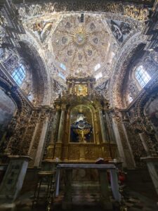
Fully acclimatized now, we waved goodbye to historic Puebla with its beautiful zocalo and cathedrals. Our group of eight motored toward Tlachichuca and the hospitality of the Concholas, my adopted Mexican family. Patriarch, Joaquin Concholas, speaks little English but hugged me as would a father for his prodigal son of five years.
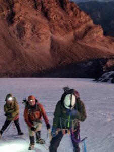
Orizaba was dominating the skyline here in this small village in middle Mexico. Dogs ran the streets with us, and I befriended a four-year-old named Juan. Remarkable is the candor and love that locals show us Gringos as we meander alleyways. The following morning saw us boarding Jeeps for a two-hour off-road event that would carry us five thousand feet up to the Jose Rivas Refugio.
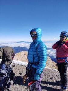
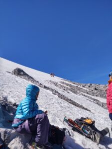
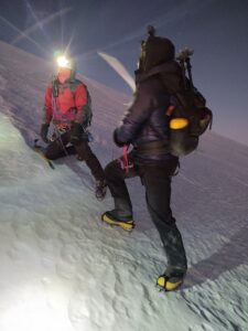
Alpine starts mean a midnight wake up. Stoves hummed as headlamps bobbled around the hut. Attrition had whittled our group somewhat as two of our brood decided to remain with the comfort of the Concholas and their infamous mole sauce. As we climbed into a star filled night, six hours put us at the foot of the Jamapa glacier donning crampons and roping up with local guides. It was cold and I dug deeply for my parka. One of our team decided this was his high point and descended safely with assistance as Orizaba’s shadow emerged with the sun.
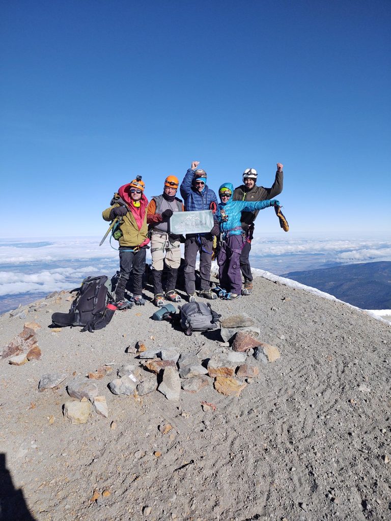
At 8.45 am, Patrick Caveney, Kerina Mitchell, Richard Hatten, and I gained the final steps to 18,400 feet, North America’s third highest prominence. As the sun rose, so did our spirits in the shadows of Popo, Izzta and La Malinche who winked at us across the glowing desert.
Eagle Creek.
This is the first year in a long time I didn’t make it over to Sithenge. The weather looked bad and we were all hoping to avoid an epic like the one I am putting out there below. CityView published a version of this story which is online this month but I wanted to publish my version that is longer, as the online version has been edited for brevity, which is a necessary thing with print publications. So, without further adieu, I present the Eagle Creek Epic, featuring Richard Hatten and his exploits from a couple of years ago.
Something glimmered from the sandy bank as Curt Roberts pulled his boat ashore. Caked mud flaked from an object partially embedded. “Could this possibly be?” he asked. Many a joke was made of the scuba tank diving rescue missions twice undertaken by Richard over the past 700 days. What compromising footage, we wondered, could possibly be on that SD card. I was certain Curt had found Richard’s holy grail. Indeed, the salvagable footage was intact up to the point of impact. And we were spared any accompanying video indignities. Eagle Creek verified Richard’s oft repeated epic, as he valiantly battled a raging river. The percolator may reveal next fall.
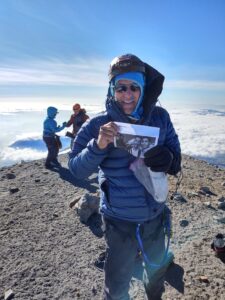
Summit Orizaba

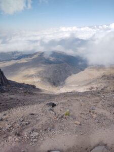
It was an epic push from the hut but four of our team managed to top out. Orizaba gave us a full measure this time. I would like to congratulate Richard Hatten, Patrick Caveney, and Kerina Mitchell. They persevered and reached the third highest point in North America.
Everyone is safe now in Mexico City. More later.
Puebla
We have been in Puebla for the past several days. We’ve been to the summit of La Malaniche, and climbed part of Izztacchiuatl.
I’m having difficulty uploading photos here so go to my Instagram feed for more specific updates. @johnwquillen