Virginia is beating a soft spot in my outdoor heart. We left Wednesday March 29 at 7 am from Knoxville. Frank picked me up and had already been on the road for almost two hours from Chattanooga. It was a chilly day but plenty of sunshine abounded. Three and half hours found us deep along the trail where we last made an unscheduled shortening of schedule on that particular AT section. My feet were not in good shape after walking through storm- soaked fields outside of Rice Field shelter.
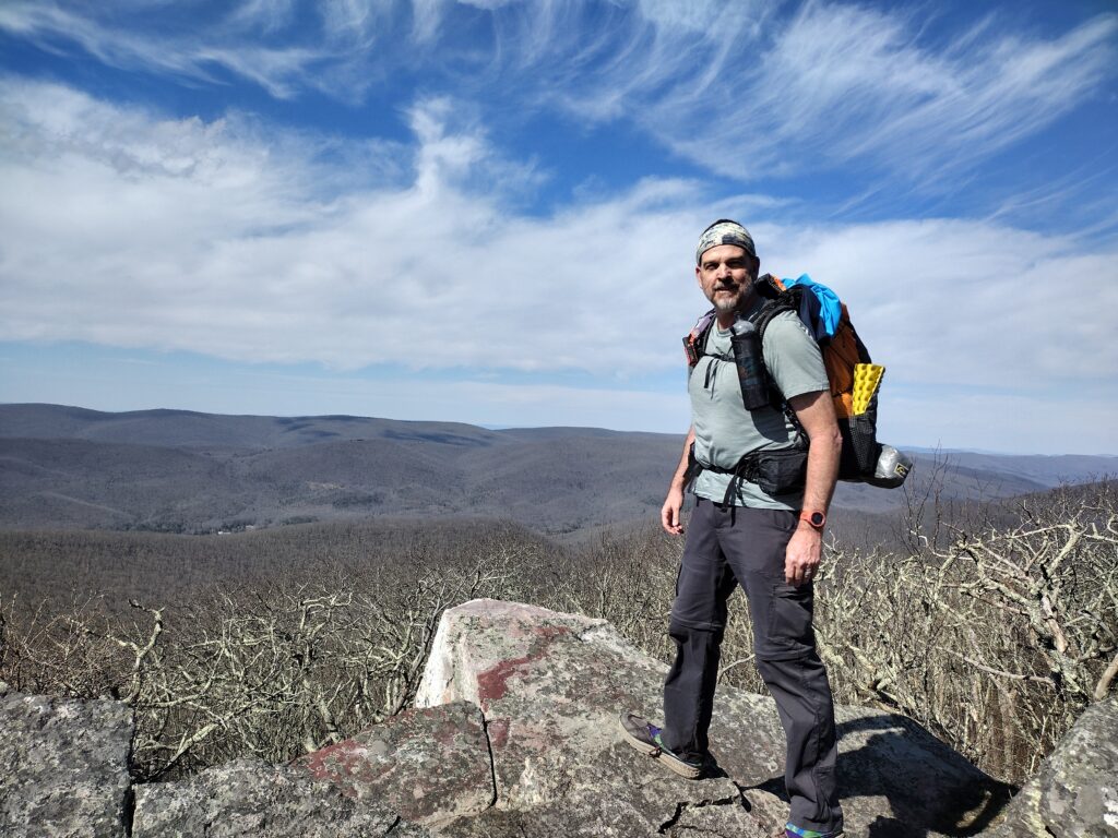
We dropped off a car at a hiker hostel and had them shuttle us one hour to our beginning point. Some cat with face tattoos slung us round mountain roads until we begged to shoulder heavy packs. It was in the forties as we ascended from VA route 635, Big Stony Creek Road. This day took us up to one of the best vistas to date along the trail. Wind Rock affords panoramic views of Virginia devoid of the development now ringing the Smokies. We took this in and tried to decide about where to bed down. As usual, water was always on our mind, and none was to be had here. So, we pressed on for another couple of miles.
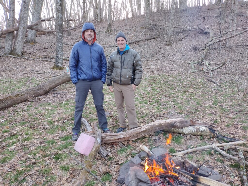
to a fortuitous encounter. There along the stream was a solitary tent occupied by a Welshman known as Sasquatch. He welcomed our company as it was his birthday and we celebrated astride a roaring fire that cold evening. It was in the low thirties that night. It makes planning quite difficult when the conditions are variable. My pack weight was coming in at 37 lbs., much heavier than usual. We did seven miles and 2,103 feet of climbing. For a first day, this was a shakedown exercise.
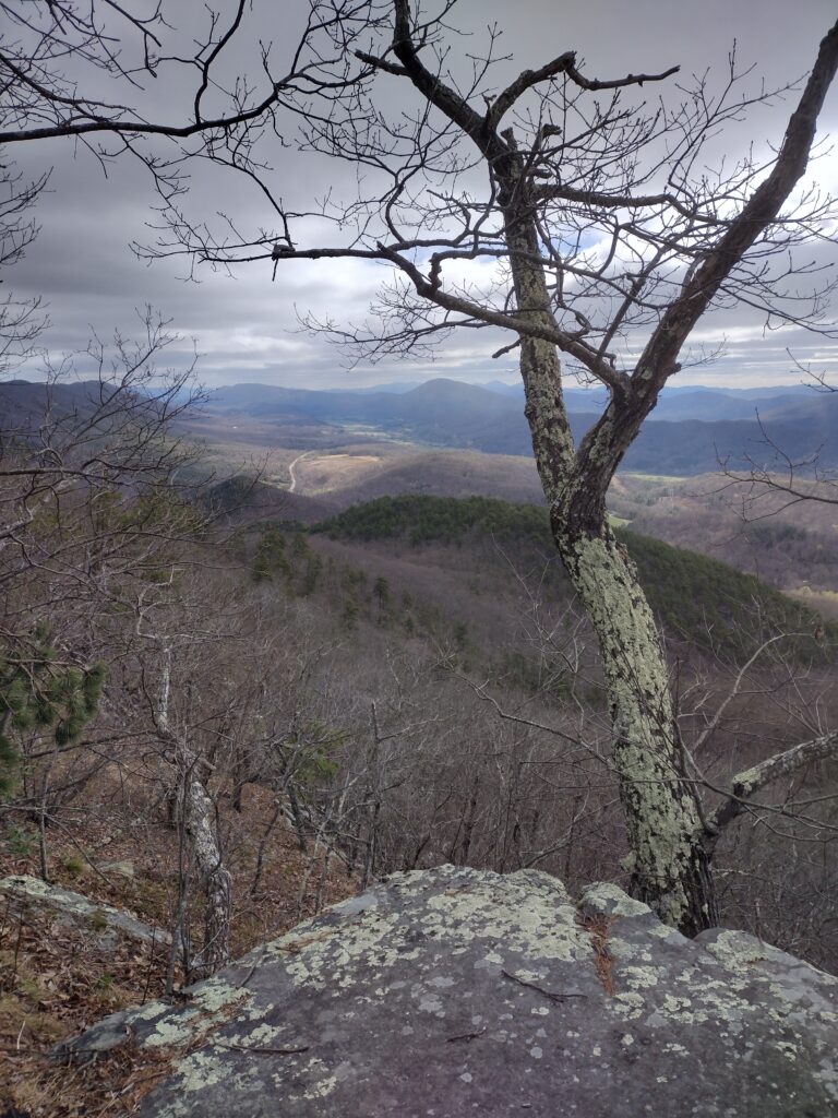
The next morning was crisp and cool. I prefer cool when elevation and mileage is involved. And we were not disappointed this day. In 13.43 miles, we would ascend 2575 feet in six hours. We travelled over War Spur into some indescribable forest scenery that made me wonder if I were still in the states or the black Forest of Germany. The elevation profile here speaks volumes and Kelly Nob was another great viewing point. The climb there was brutal. Water was scarce so we had to bed down near a pasture with cattle. No shortage of tent opportunities along the trail, however, you will find it is tied to water and that usually means shelters. After 14 miles, it really does not matter if we are in a cow field or a shelter.
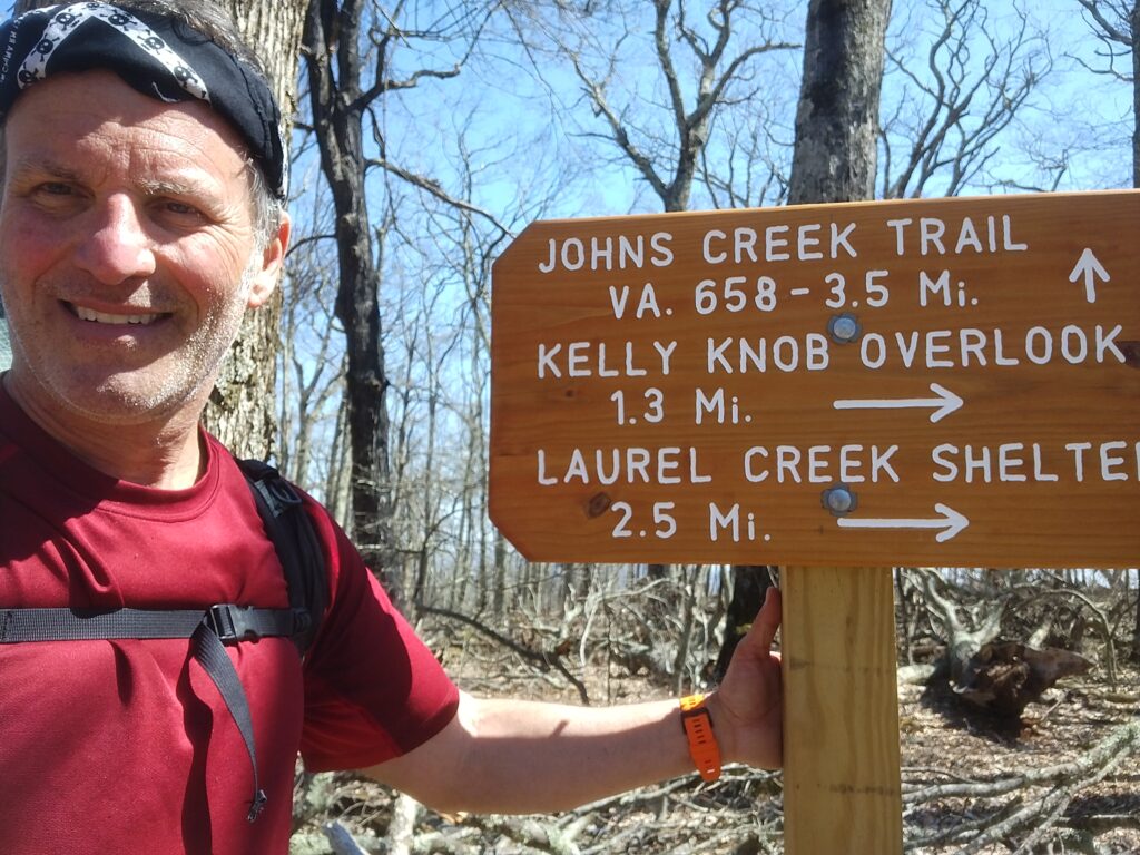
Big weather was moving in, and rain started to greet us as we entered Niday Shelter. This was to be a short day of only ten miles. On the AT, you get service occasionally atop ridges. We knew an intense storm approached and timed it accordingly. I despise shelters but it was nice to be out of the elements when they begin almost immediately. Joining us this night was Just Curtis, another section hiker who was heading southbound. We enjoyed his company as we bedded down early as rain pelted the tin roof of Niday Shelter. You know this makes for good sleeping. I will say the forecast was spot on as it stopped entirely by 10 am the next day.
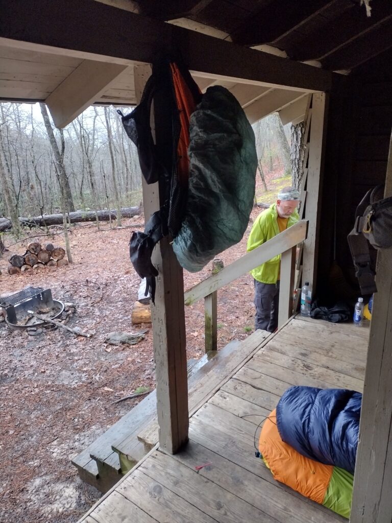
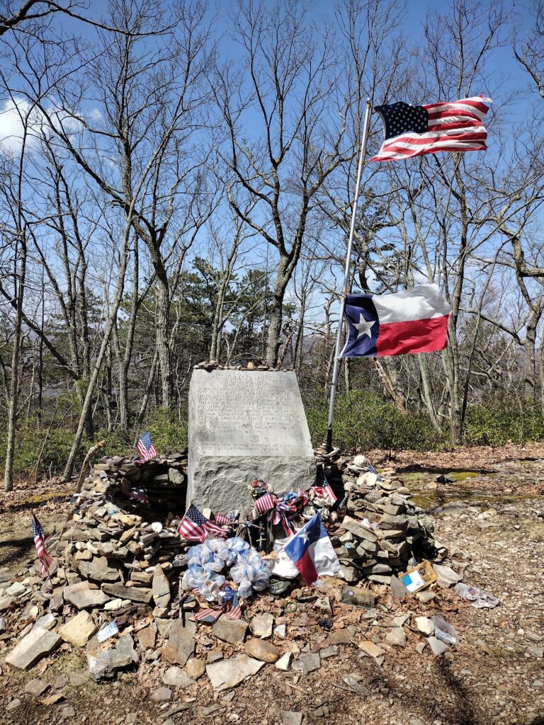
Which presented another problem. Big winds were predicted. When we saw the call for 60 mph gusts, I shrugged it off. However, the winds were sustained throughout this day, and we had plenty more climbing to do. I was anticipating the Audie Murphy monument atop Brush Mountain. Audie is America’s most decorated war hero. In 1971 he was flying from Atlanta to Roanoke when his inexperienced pilot slammed into the side of this mountain, killing all five aboard. The monument atop the ridge is a fitting tribute to this hero although we battled 60 mph winds to get there. Two days of winds would follow us as we worked our way down to Pickle Branch shelter. Our ascent this day was 2871 feet, and I felt every bit. Frank was sitting on a log at the base of Miller Cove Road. He was speaking with a guy on a motorcycle who was greeting thru hikers like us. Understand that we had seen hardly a soul this entire journey along the trail. These are interior trails and not easily accessed. When “Jason” offered me a cold beverage, I was elated. Producing a store-bought drink from his saddle bag, I accepted his generosity without hesitation. We still had a couple of miles into Pickle branch and the winds were increasing. However, so was the temperature. It was now in the high seventies pushing eighty. What a contrast from the preceding days of near freezing. YoY o remarked about our weather experience on this section. Varied was an understatement.
Arriving at Pickle branch, the trees were bending like Ents. This made our decision to stay in the shelter quite easy. Trees were falling here and there. I was appreciative of the cover should one of those widow makers come after me. Soon, a NOBO thru hiker approached at the end of his 26-mile day. That is what these kids do. We do not. In fact, our longest day was twenty-two miles but not on this section. He warned that a “platoon” of VMI cadets was heading our way and soon his prediction came to fruition. Fourteen sub-20-year-old college kids came plowing into the site and our limited shelter space. A kid squeezed in between me and Frank. He would live to regret that decision.
Frank often warns folks of my night fighting and shenanigans. As the sun dropped, so did the temperatures as the cadets set up tents and hammocks. Unbeknownst to me, two girls had just cowboy camped on the uneven ground. By three am, I had to rise to heed nature’s call. It was near freezing outside as I walked in my socks to find a convenient tree. I ran back to the comfort of my sleeping bag and the five other bunk mates beside us. It was not long before one of my bombastic dreams had me karate kicking an opponent in my sleep. However, the pain in my toe awakened me and my unexpected victim. This poor cadet will learn about squeezing in between people like us in the future as I apologized profusely and hoped I had not broken his tail bone in some way. Outside the trees bent with the wind and I worried about all those kids out there. Not enough to forfeit my space, but I did worry about them.
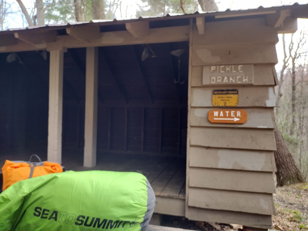
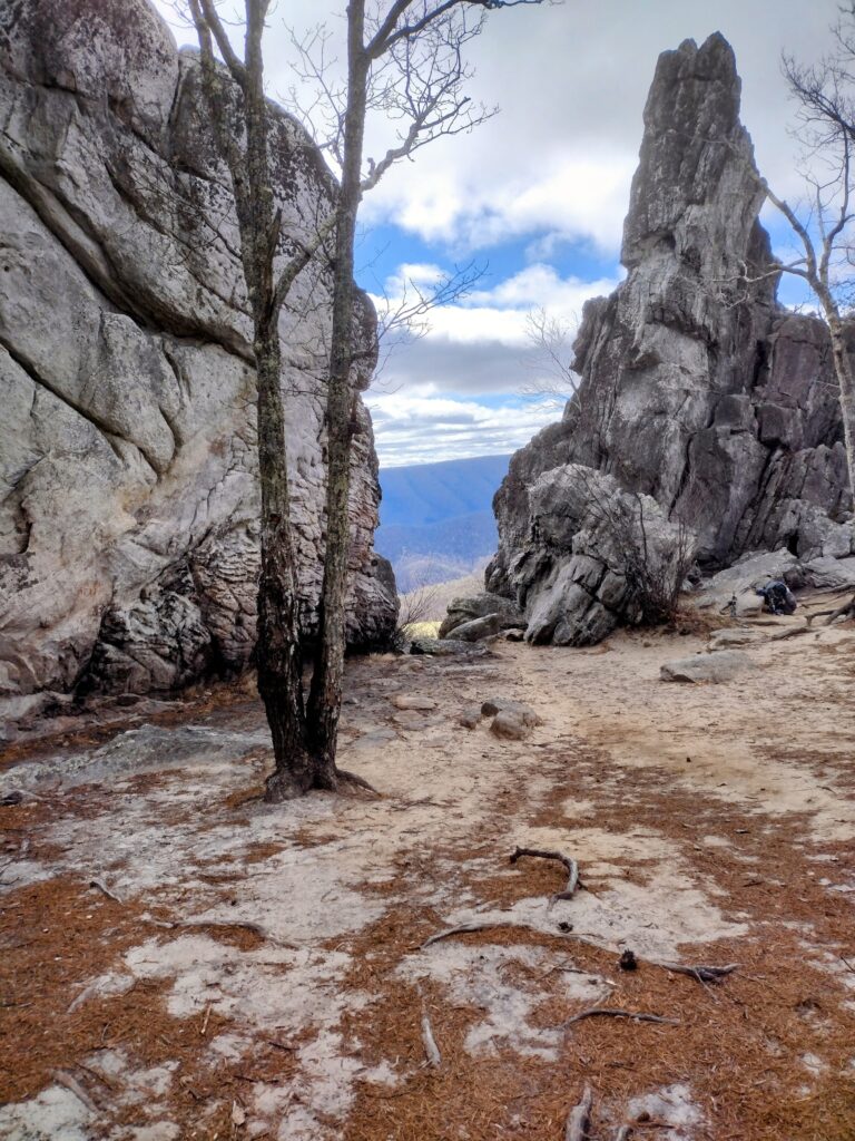
We rose earlier than most this next day in the steaming cold of our breath. It was near freezing and the wind was still in full gale. I forfeited the second cup of coffee in hopes of hitting the trail with Frank, who was already packed and giving me that look. We had another climb or three before hitting the first of the big Triad of Virginia, Dragon’s Tooth. Two thousand feet up we had to go to see this anomalous rock spire, but it was worth the climb. I knew it would be a short day but was running out of steam after all the climbing the previous four days. We would approach the 50-mile mark on this section as we navigated the hand-to-hand descent from the Triple Crown feature. It was a short, eight-mile day as we dropped back down to the car, passing utility trucks trying to restore power from downed lines. This storm had ravaged more than Virginia we would later learn.
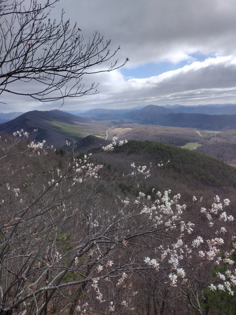
As Frank noted, this was one of the most beautiful sections I can recall. I am growing quite fond of Virginia and, despite the rugged weather, am thankful to have endured this with Frank. We had a wonderful time, and I am already looking forward to the next installment.
