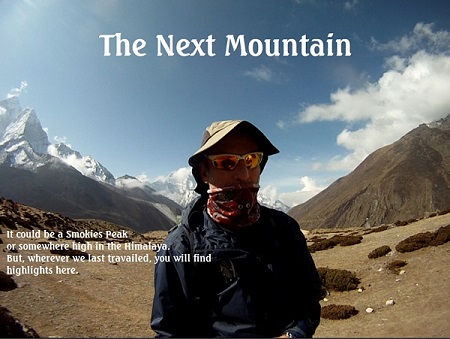
“It’s going to be a long night up there!”
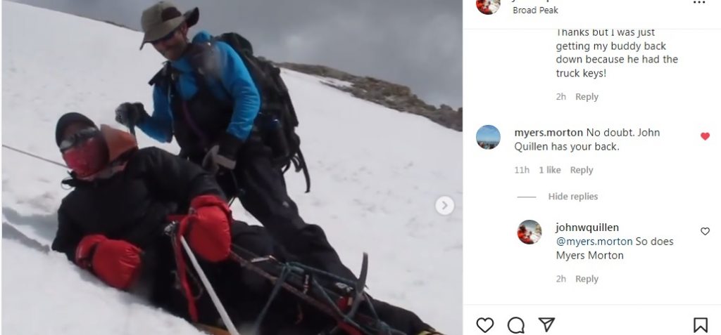
…Prophetic words from our expedition leader, Ron Hoglin. It was a darkening late June afternoon in 2013 when his voice crackled over the radio. (you can hear it in the background of this video on my instagram channel.) I had never seen this footage until this week. It was recovered from the possession of Mojitabbe Jarahi (and forwarded from Iran thanks to Hossein) who arrived in time to help me get Brian to safety. The video and details are in the link below. Unmute the sound icon at bottom right for audio. https://www.instagram.com/p/CXmuP5BMtKz/
Strange happenings at Cumberland Gap
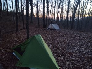
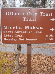
After 5.3 mi and 1900 ft of ascent, we arrived at this campsite on Gibson Gap along the Mischa Mokwa Trail in Cumberland Gap.
The plan was to ascend to Hensley settlement but all the backcountry sites are presently closed due to bear activities save for this one. I was reminded of the time that we did this whole 20 mile trail when I was in the boy scouts probably aged 11.
It was a usual Friday night hit. The weather was warm and we began climbing and sweating. It seemed like a rather endless pull with full packs since there was no water up there.
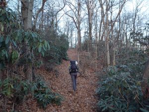
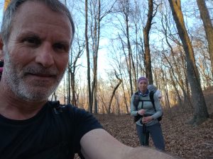
Kelsie and I were very happy to see the end of that climb. Campsite was in a flat little saddle, ordered by some rock formations and rhododendron. The sun was setting as we rolled in but I noticed by the campfire area a little bit of rustling back behind the rhodo. I immediately had sort of a strange feeling about this campsite. I’ve had these feelings a few times before in the backcountry. It’s almost like you’re being watched.
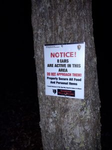
When we registered at Park headquarters they warned us of all the bear activity. In fact Gibson Gap was one of the only available areas for us to camp. After making the five Mile journey, half of which was straight. uphill, we were assured there would be no one else in that campsite.
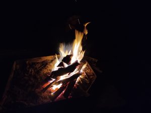
The stars were in full glory and we enjoyed a radiant fire. At around 10:45 we retired to our respective tents. We hung our food properly on the provided bear cables.
I’ve spent enough time in the backcountry to differentiate sounds. Especially those when you are asleep. For instance squirrels make a definitive sound as do raccoons, possums, and skunks. They fall into the category I would define as small critter racket. Then there are the deer sounds. I can always tell when it is a deer in camp. Their leaf crunching pattern underneath the hooves is without question. But bear are the most distinct.
There’s usually a big thud on the ground and I felt it before I heard it. So I was fairly confident given the weight of the thug that it was not a deer or smaller critter. And it walked right by my tent deliberately, as if surveying the area. First thing I did at 4:30 in the morning was to grab my flashlight, unzip the side vestibule my tent, and shine it in the direction of the footsteps.
In my experience whenever there’s been a big animal in camp and I shine a light outside the tent it tends to move the animal in one direction or another. And it usually moves fairly rapidly. That was not the case with this particular visitor. At which point I knew I had to leave my tent immediately. This is often easier said than done. Your sleeping bag becomes like a prison cell; easy to slip into but hell to escape. I swung my light around by what was left of the embers below our food hang. I donned the shoes in record time.
I was now staring at a set of eyes in the rhododendron behind our now darkened fire pit. It appeared to be my height. And it just kind of stayed there for a few minutes. I moved cautiously in its direction. ever ready for a big charge or the other way. But neither of those things occurred. Whatever had been surveying our camp and was now staring at me through the rhododendron, simply decided to retreat.
Now wide awake I had little choice but to stir the dead fire. Were it indeed a bear I have found fires to be a deterrent. Some of you may recall my most notorious incident back in 1997. So from 4:30 until 6:30 or 7:00 I was there alone trying to scout the area, feeding the fire with what remaining wood we had. I could hear Kelsie stirring in her tent.
Around 7:00 she rolled out with the first rays of sunshine. All she could say is what the heck was in our camp last night? I told her that while looking around trying to assess the situation I came across something that I hadn’t noticed the night before. there at the base of the bear cables from which we hung our food was a crumpled frying pan. I told her that I had not noticed that from the night before.
So either a person was walking around camp or a bear drug a frying pan into camp. Either way that’s some back country weirdness.
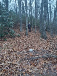
Kelsey walks the area behind the food cables. You may notice the pan in the foreground. Little evidence of any other critters was found.
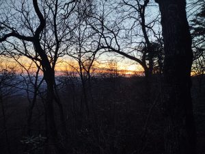
Either way Cumberland Gap rarely disappoints. And it’s always an adventure with me. Cumberland Gap does not have a Backcountry camping fee. And that is the main reason I was there this past weekend. Sadly the old Martin’s Fork cabin is closed permanently. Many were the old Highlander epics we held in that building. But they have shuddered the doors due to mice, rats, and people misusing the space. Here is a link to one of the old trips we had in back in the day.
http://southernhighlanders.com/cumberland_gap_2014.html
Let’s conclude this week with some Christmas music and how fitting, this guy playing in the snow.
Eagle Creek plus unbelievable archaeology
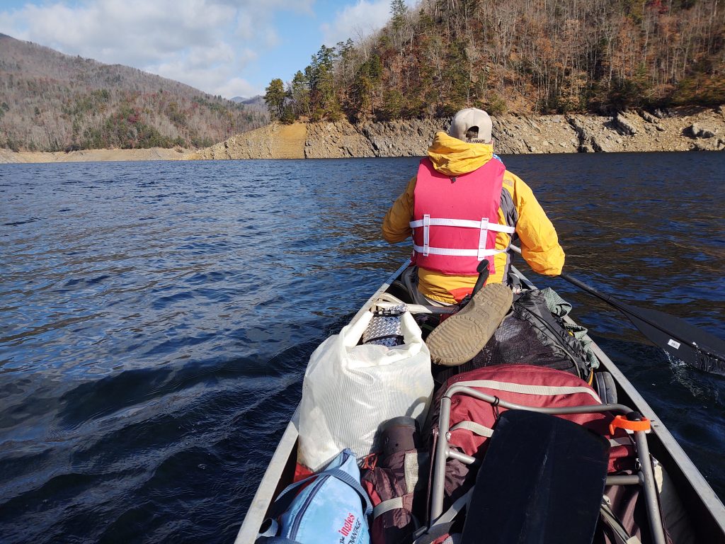
The post Thanksgiving tradition continues. and the Highlander Navy set sail on a very crisp and cold Friday morning. The temperature was in the low 30s. and we made the four mile crossing with a small bit of chop. Yes that’s Martin up there at the bow. Hadn’t seen this guy in several months. We have been doing Eagle Creek since 2002.
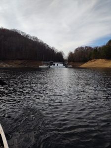
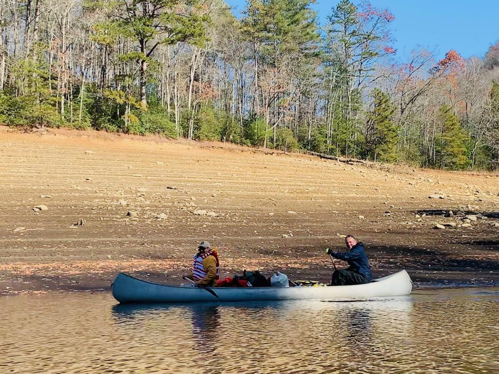
The Steenhatchee sails once more.
AJ and Kelsie provided their own transportation via kayak. A full Armada landed at the beach head on Eagle Creek. In this picture if we were to zoom you would probably see an object. But our group was too focused on getting into camp as it was cold. There was a lot of fire duty to be completed.
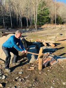
Sit Henge was as we left it. Here, I’m making the wood wrist sized.
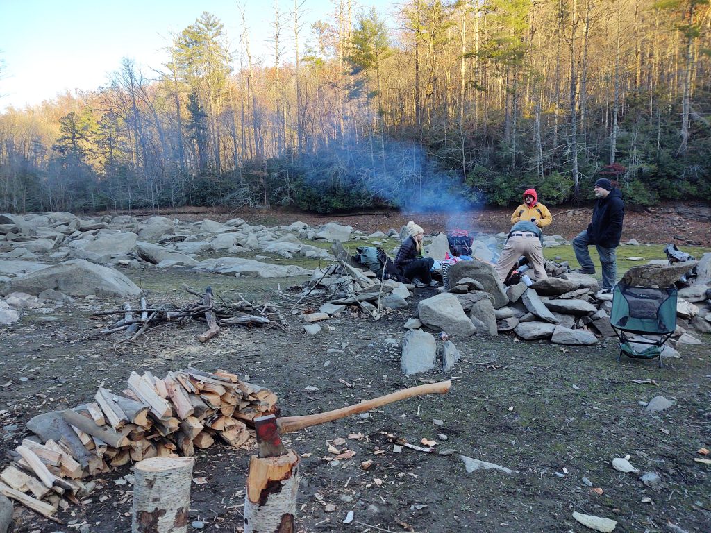
It got into the very low twenties on Friday night. We were anticipating the arrival of Curt via his kayak.
And before dark he appeared on the horizon. But he was bearing an unusual archaeological treasure. You see, Curt opted to ride over on the shuttle and have them carry his sit on top kayak. He noticed the winds were choppy and decided to play it safe. You also recall that Curt was with us year before last at Eagle Creek. This was the scene of an epic involving Richard. This link will take you to that trip.
after reading that link you will remember that Richard took quite a spill on his kayak on the way out. The result was loss of personal possessions and injury to his arm and no paddle with which to return across the creek. He was literally up the creek without a paddle. the Richard returned several times to try and locate his possessions unsuccessfully. Chief amongst those was his video camera. He even brought a professional diver over on one of those excursions. To no avail.
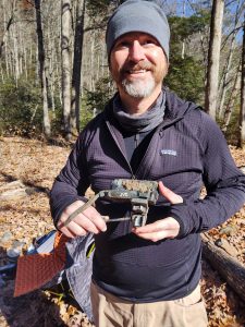
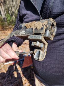
But there sitting in the mud as he disembarked from the shuttle between our canoe and kayak sat this relic. It had to be Richard’s. Most remarkable are the number of times Richard has returned to Eagle Creek in futility for that very piece of technology. We were all convinced there had to be nudes on that Sim card.
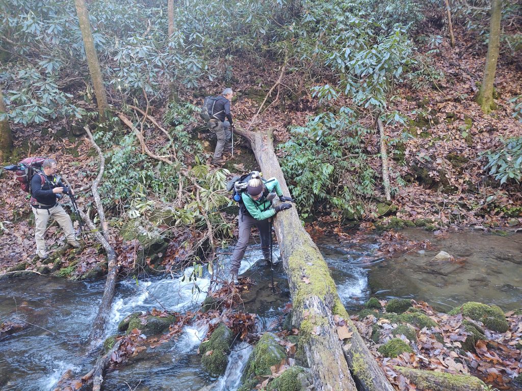
it was in the twenties that night, super cold. But we managed to coax a roaring fire. The next day we were off for our usual ascent of Lost Cove to the Shuckstack tower.
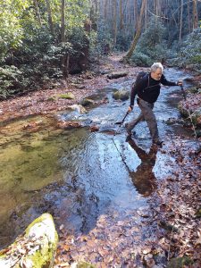
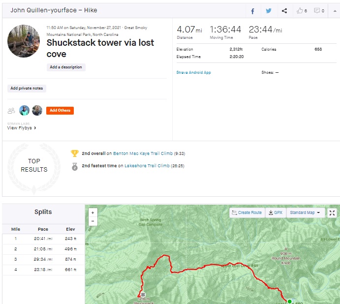
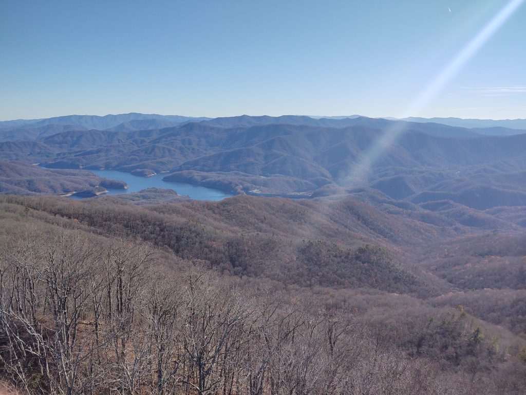
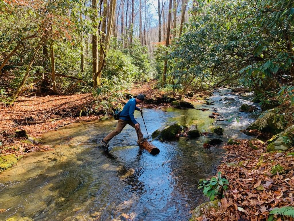
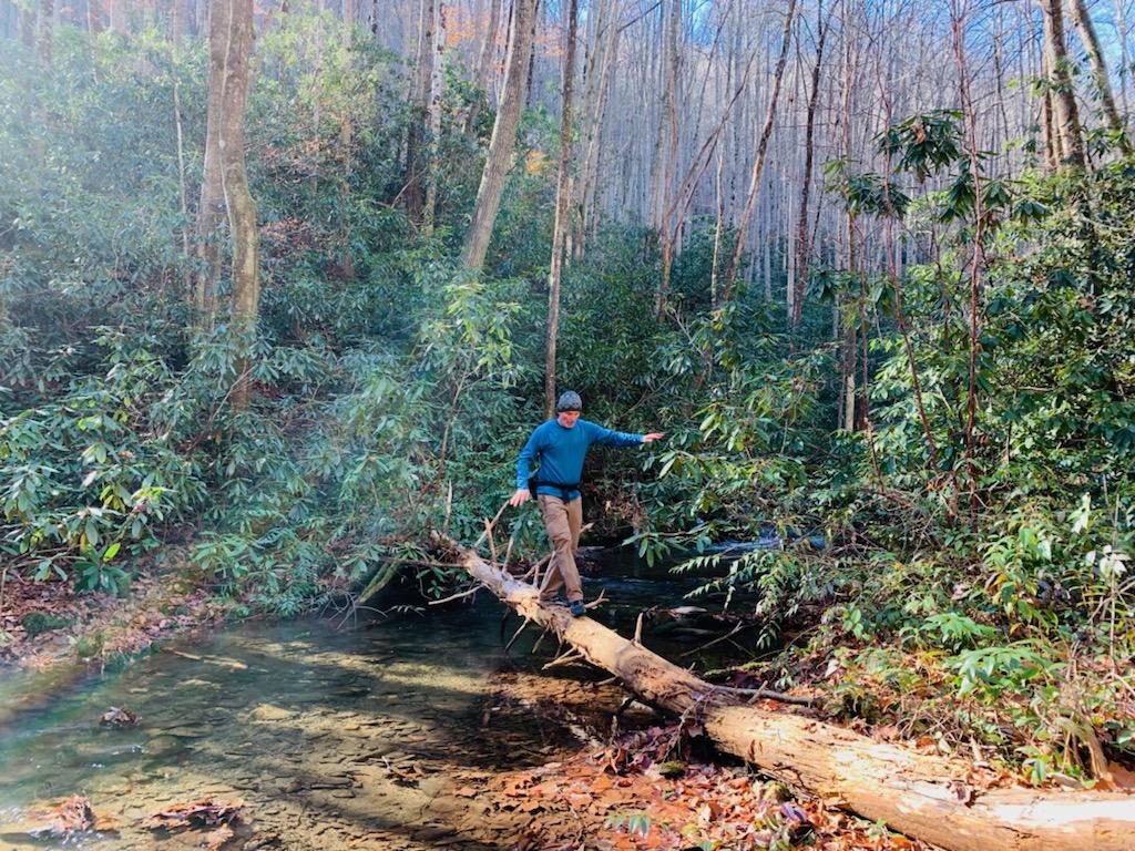
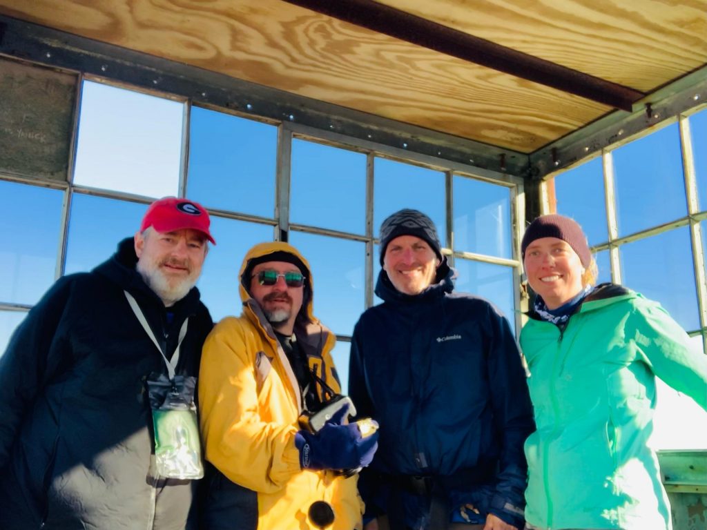
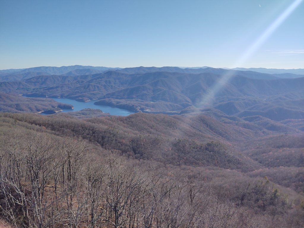
I couldn’t wait to get to the tower because I knew there would be enough cell service there to text Richard and find out if this were indeed his video camera. I was able to fire off a text but not receive a response. We had such a wonderful climb up the 2000 ft to the tower. It was a crisp late fall day and the creek crossings were very manageable. We spent probably 40 minutes up in the tower. Just a glorious hike all the way around during our 8 Mile excursion.
Kelsie took these photographs.
On return to a camp, Kurt had been fishing all afternoon but took a couple of hours to split and chop wood. Real teamwork on this trip. It was a solid crew of fun folk.
We settled in for another cold evening with a roaring fire. I retired a little bit later 10:30 which is late for me. This Crew stayed up all night till about 2:00.
One of the things I most enjoy about Eagle Creek is lounging about with my percolator drinking coffee. It just seems to taste better back there. Once we got packed up and headed for the launch, Mama Bear and her Cubs were waiting for us to leave. That was the only real animal sighting we had on this trip. Usually, I paddle beneath the wings of eagles as we come to the mouth of the creek and boar as we ascend lost Cove. But I’ll take a bear encounter any day even though it was Curt who saw them.
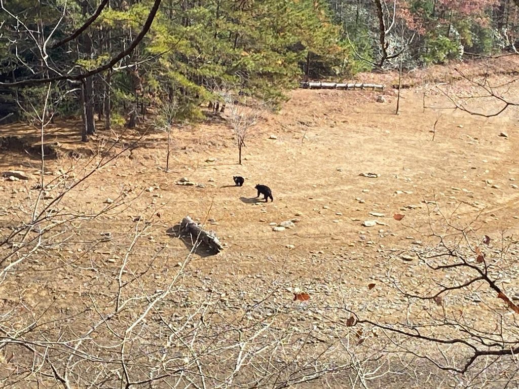
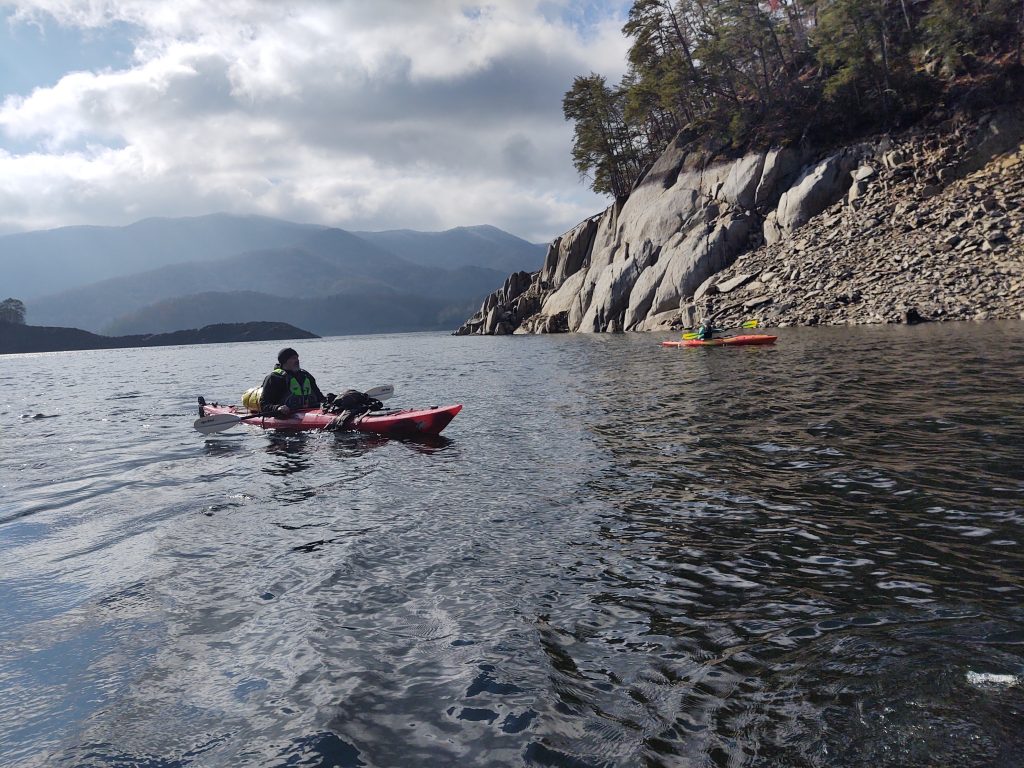
We had quite the sporty -sporty coming back across. Martin and I had to head into the wind. But we all made it safe and snug. A truly epic SitHenge Highlander outing. It just doesn’t get much better than that. Richard met us in Maryville to retrieve his belongings. He was fresh off a hand surgical procedure. And delighted for the recovery of his camera. Unfortunately, we had to keep the sim card to prove it really belonged to Richard. At which point he threatened to fight all of us, thus proving the existence of nudes and multiple attempts at retrieval. None of us needed the accompanying mental imagery.
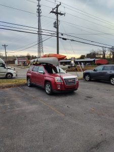
This really was one for the books. Probably colder than any of the ones we’ve had, but some of the best fires, walking and general outdoor time I can remember.
Let’s conclude this week’s venture with some classic Flatt and Scruggs covered by the incredible Earl’s of Leicester. These guys have nailed it better than Lester and Earl.
Bird Springs
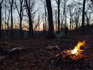
Frozen head has a lot to offer. We ascended 1,600 ft and 2.8 mi to this beautiful campsite atop Bird Mountain.
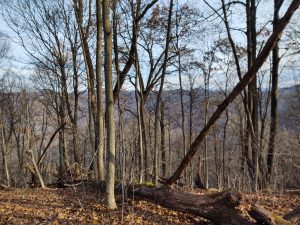
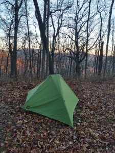
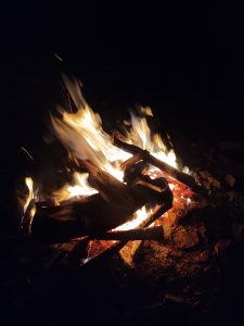
It was a cold and windy night on Friday. Here at about 3,200 ft, the fire laid sideways.
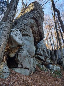
There are some incredible rock formations at the top of this ridge.
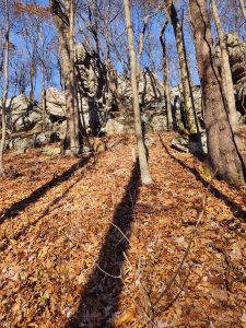
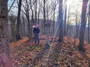
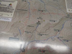
That is our loop. We went up the bird springs trail, back down the Jeep road, which is actually the tower Overlook road.
I am fond of Frozen Head; feels like our own little mini Smokies.
Good stuff.
Now let’s have some music.
Cold Spring
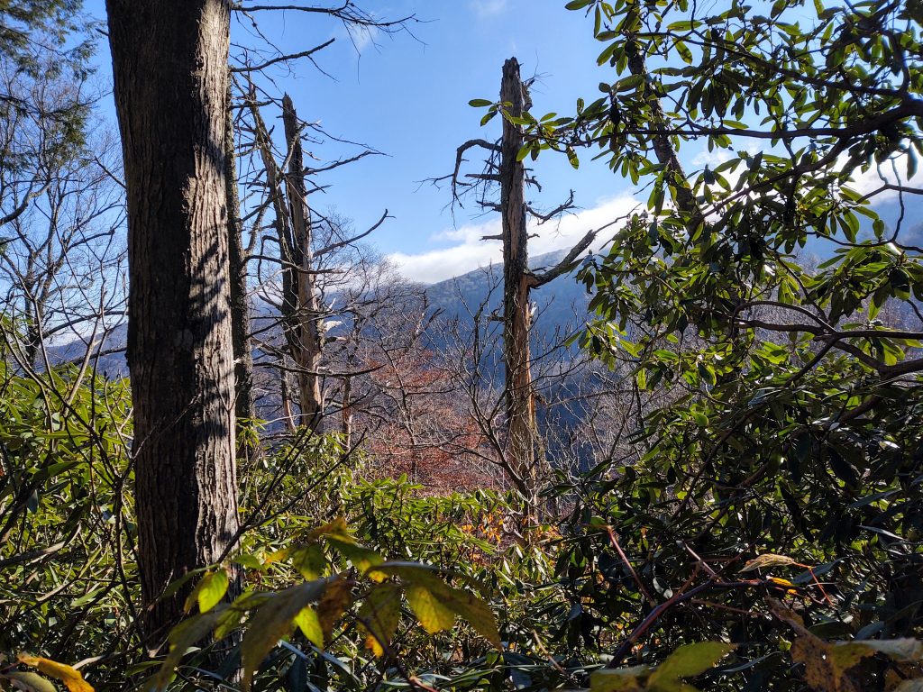
I got some alone time in the Slickrock. This photo is looking towards the Hangover on a frosty morning as I departed to finish my loop on Sunday.
Below is a repost the text of my Instagram write up about this trip . I’ve been derelict in posting of late due to a chronic sinus situation. It started two weekends ago while we were backpacking up at the Big South Fork. Sinusitis is my cross to bear along with holding the record for number of Covid infections. Zero immune system, I reckon.
Here are a few pictures from that BSF outing two weekends ago.
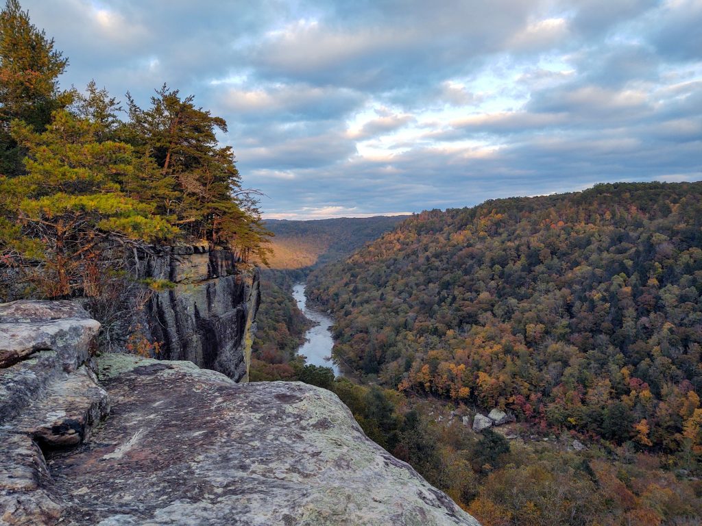
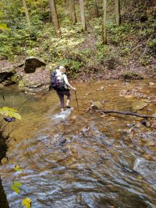
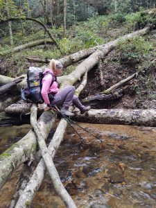
I will mention the lack of trail maintenance in that area. It’s only been a couple of years since I went to this place and it is amazing how the national Park service has let this run down. There are blowdowns that have obviously been there for at least two and a half years. If this were some kind of remote interior trail I might understand the neglect. But it isn’t.
Due to the illness I acquired on this trip I had to miss the following weekend but was able to get out and enjoy the Fall festival at Baker Creek.
Fast forward to this past weekend and I needed some outdoor alone time.
Also wanted to finish some miles over in Slick Rock..
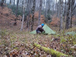
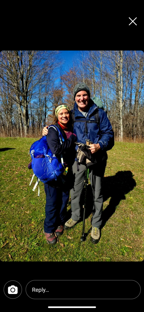
When I walked out of the slick Rock wilderness I ran into two friends Tim and Angie Sexton. It was a perfect ending to a great 2-day outing. Cold Spring is a great Trail and makes a good loop when combined with the Fodderstack.
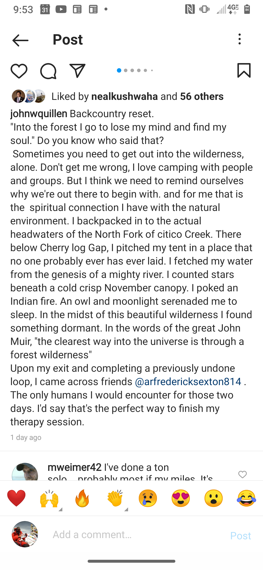
Yes it’s a cut and paste job. You can see the full post over on my Instagram feed. But I thoroughly enjoyed my solitude in the backcountry.
Now, in case you haven’t heard I’ve been asked to organize a climb in Ecuador in late February. I will be leading a group up beautiful Cotopaxi. we will spend a week acclimatizing on subsidiary peaks staying in beautiful downtown Quito. Your total land cost for 9 days on the ground is $1,300. this includes local guides lodging breakfast and transportation. It also includes all gear on the mountain. I challenge you to find that deal any better anywhere else. Here’s a link to our itinerary and I will be leading this group. Please let me know if you’re interested as we need to finalize our details. Cotopaxi is a great beginner Mountain. you will get experience in the use of crampons and an ice ax and rope glacier travel for one day. Plus you’ll get to bag some 15,000 and 16,000 ft inactive volcanoes.
https://johnquille0.wixsite.com/mountaineering/about-1
Don’t know if you saw my latest contribution for CityView Magazine. It was an old trip but good content.
https://cityviewmag.com/frozen-head/
Hangover + 2021
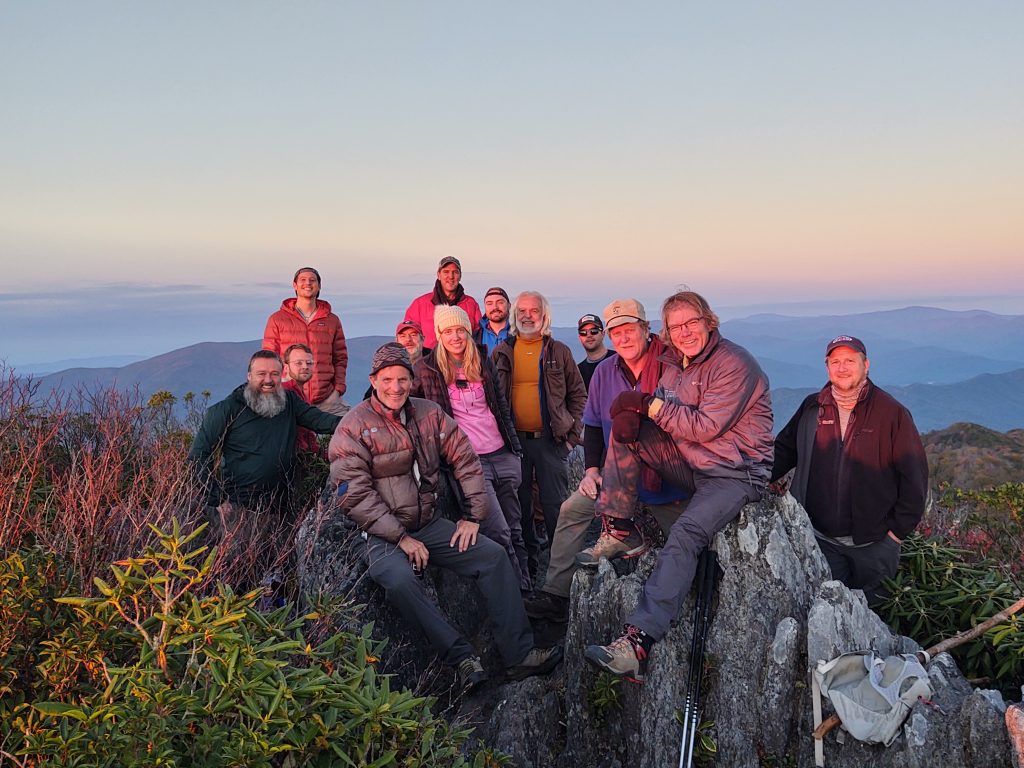
We had a near record crowd for the Southern Highlander Hangover trip this year. And the weather could not have been better. The only people not pictured here that were in attendance are Micah, David and Drew Snider and Tipi. That brings our total to 17, just shy of the record of 21.
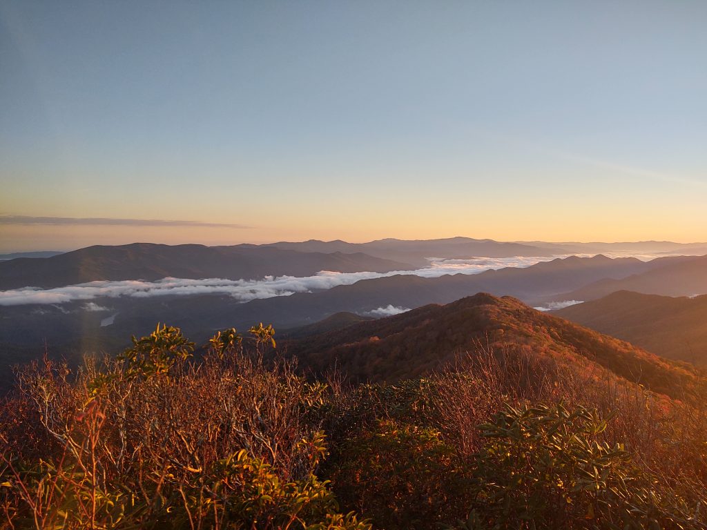
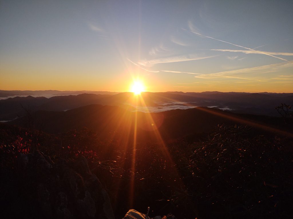
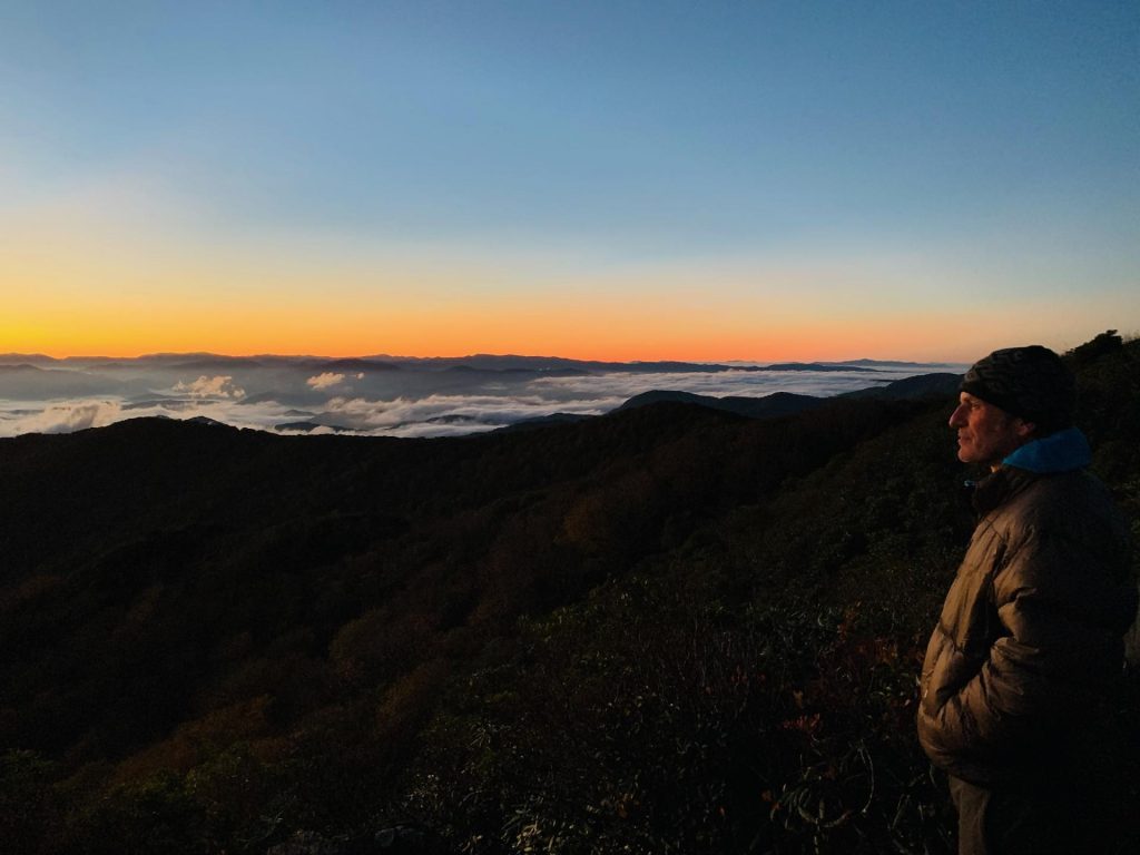
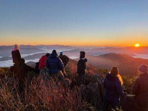
I made it up for two sunrises. And they were epic.
Myers was there so you know laundry got done.
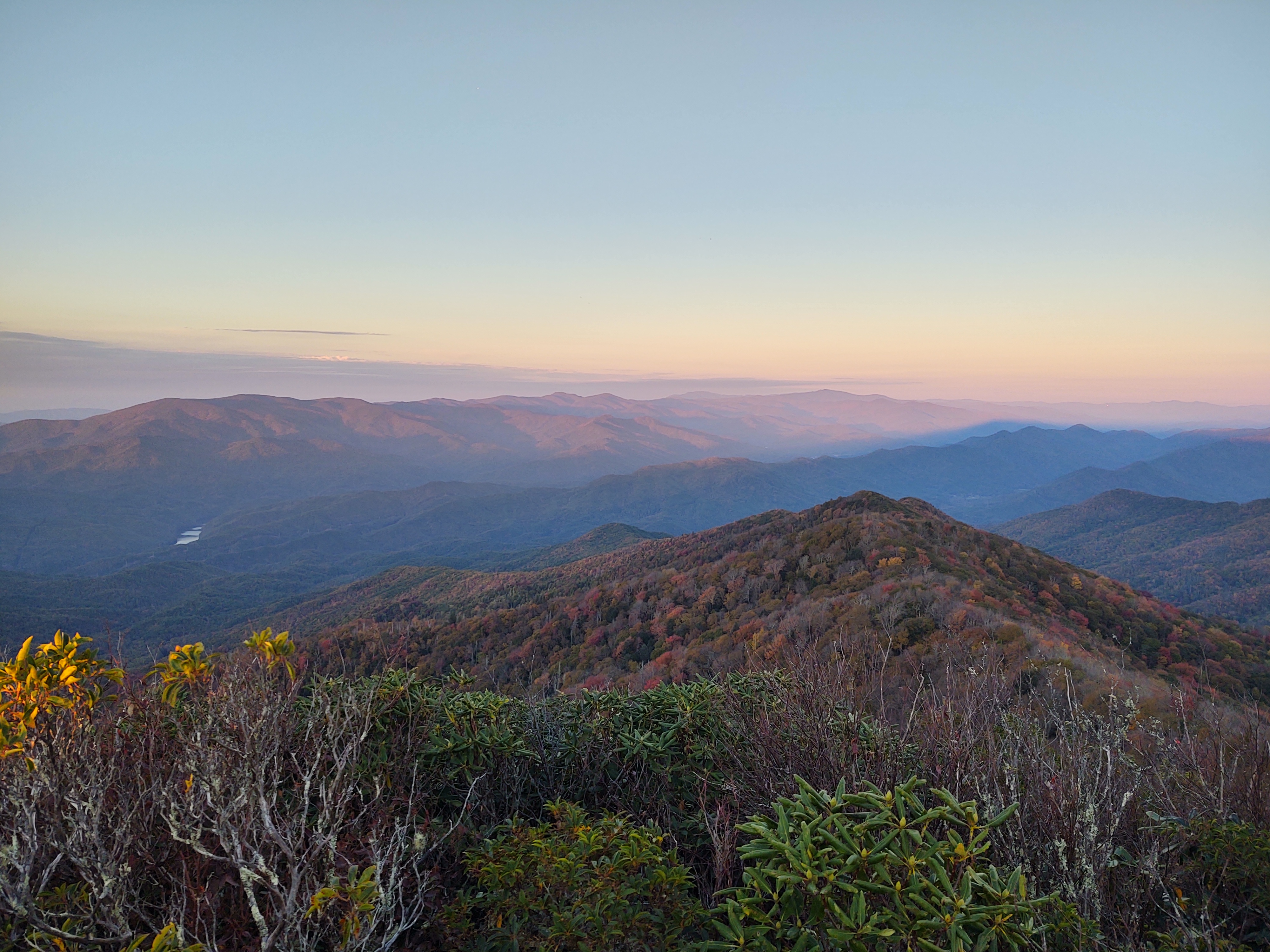
But the sun sets were equally spectacular.
A day hike happened. Kelsie led Chris and Chambers down Deep Creek and up the Haoe.
That’s McQueen prior to making a big scene.
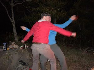
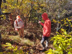
Hanging out with Tipi in his usual camping spot over above the saddle,
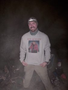
I didn’t notice what he was wearing for a couple of hours. Until I did. He took my Denali summit photo and whose picture is in my face? Yep.
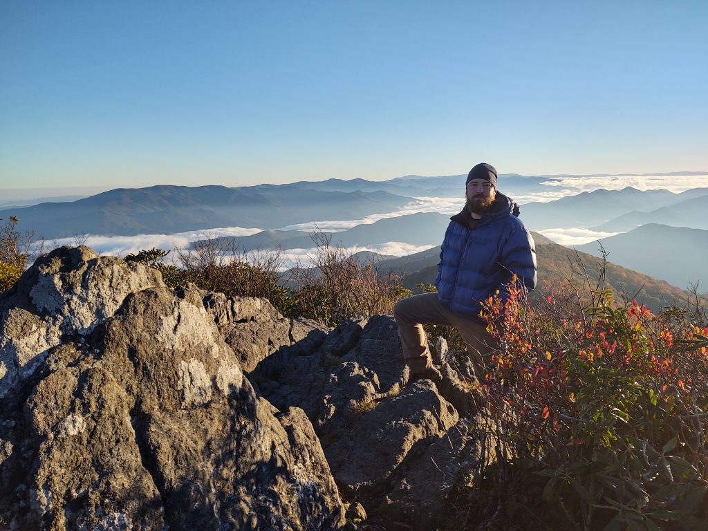
Micah did a cameo on Friday.
He wasn’t disappointed for his efforts.
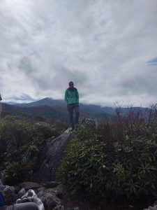
No matter how many times I’ve gone this hill the mountain always offers up do you stunning vistas.
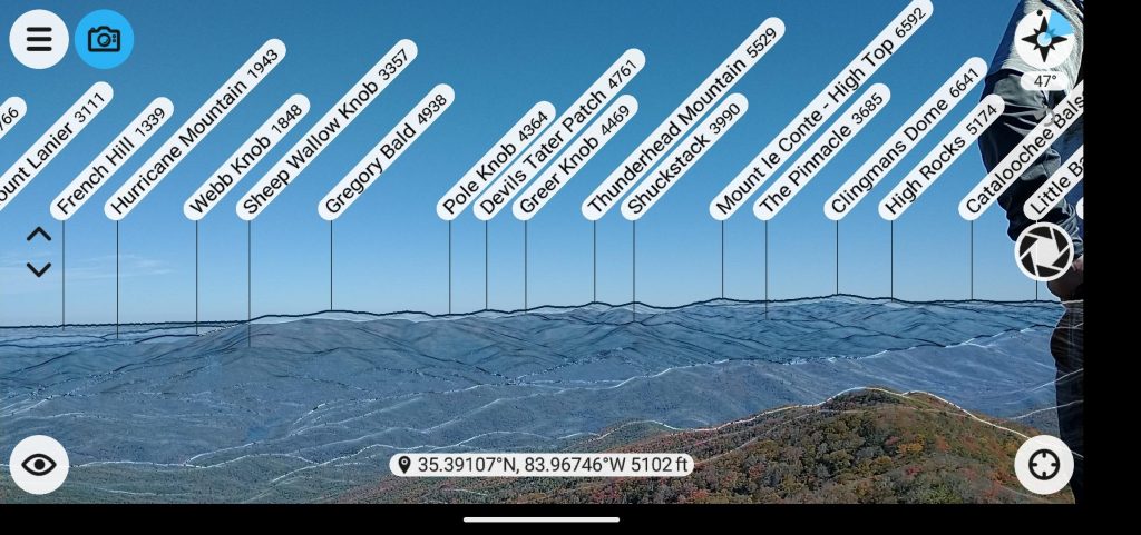
The new Peakfinder app points out all the mountains to be seen from the Hang. I never realized we could see all the way to Blood Mountain.
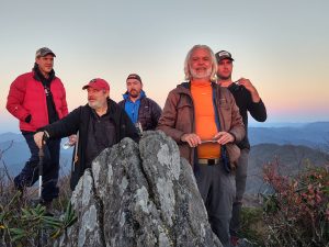 It is always great to see Jon and AJ. Andrew and Chambers didn’t fear the climb.
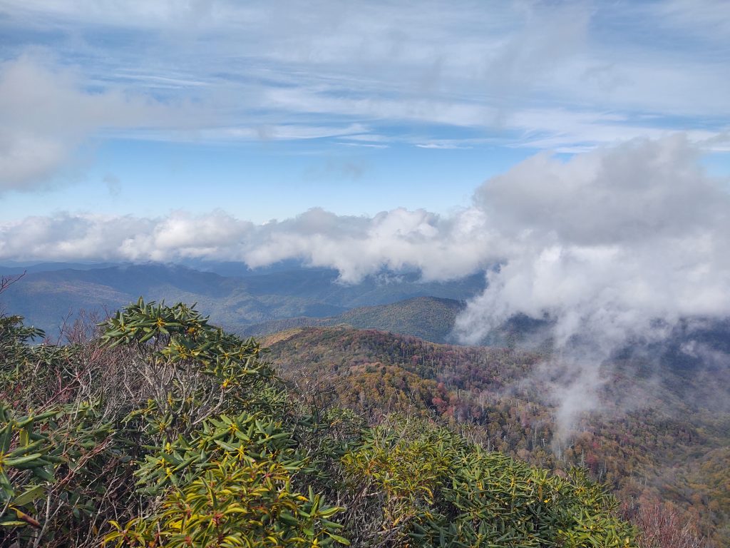
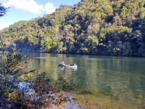 The week prior, Kelsie, Richard, Linda and I paddled across Calderwood to camp beneath the Hangover. I have been derelict in posting due to all this outdoor time but this photo and the next are from that adventure.
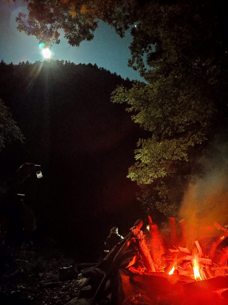
We had a great moon the prior weekend down on Calderwood as well.
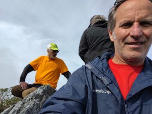 Tipi got some views.
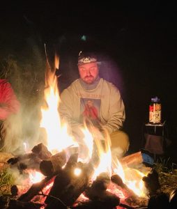
 Chris’ first time on the rock.
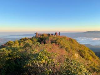
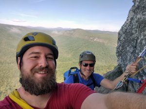 And the week before that, Micah and I tackled the North Ridge route on Table Rock. It turned into a mini-epic as do all of my multi-pitch climbs.
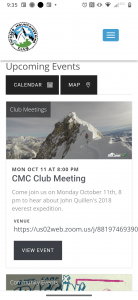
I was also honored for the opportunity to present my Everest story to the esteemed Chicago mountaineering club.
Let’s end this fantastic Hangover adventure with some solid, old school Tom Jones owning Crosby, Stills Nash and Young. I never cease to be amazed at his talent.
The Greenbrier River
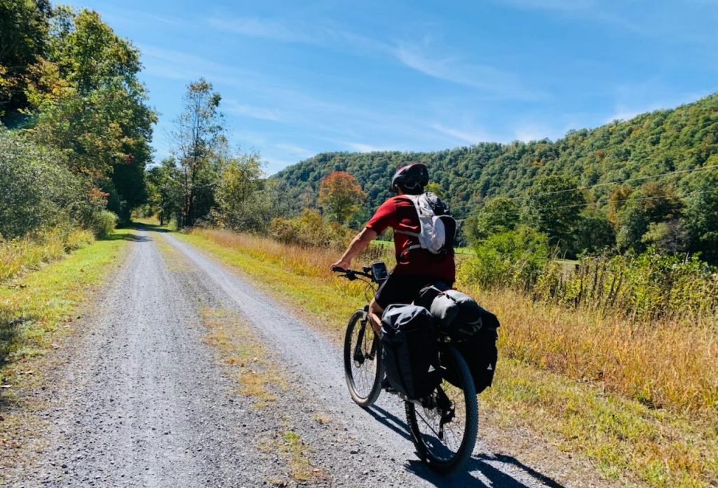
It was a fluke decision. This beautiful spate of weather we’ve been experiencing lends itself to these kinds of excursions. On thursday morning way departed four and a half hours north into the beautiful Allegheny hills of West Virginia.
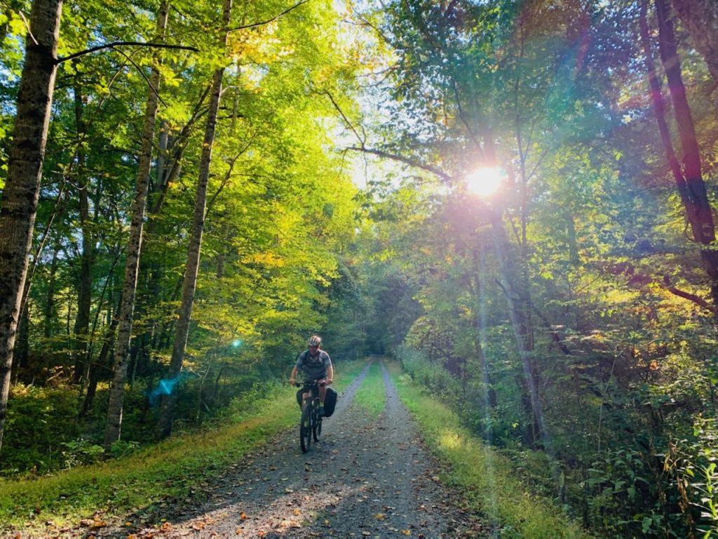
It’s fall and another rail trail called. It all started the weekend before when we were climbing at Starr Mountain.
My old friend, Jeff Grindstaff recommended this one after I had recommended the Katy Trail to him.
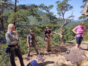
That’s Jeff second on the left guiding us expertly up to beautiful Rock faces outside Chattanooga.
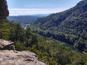
This is another view from Starr Mountain down in Benton Tennessee from the weekend before.
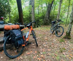
So Kelsie and I loaded up her truck and the bikes and away we went.
She made an incredible montage video here.
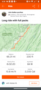
Starting in the town of Caldwell West Virginia, the first night we peddled 17 miles into our first campsite. And it was right outside of camp that we encountered a large black creature in the middle of the trail. Many times have I come upon large black seeming mounds in the middle of trails that did not move. They often prove to be stumps. This one, however, did move, and it bounded to verify a very sizable adult black bear.
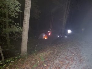
The temperature was pretty cold that night probably in the upper 40s. We encountered the only company we had along the trail that evening.
Leah and Michelle from Florida shaded the same trajectory. Headed north they also chose the uphill version as it was less driving.
They had a campfire ready for us.
We say goodbye to them early Friday morning because we had 50 miles to do that day. If we saw anyone on the trail I hardly remember it. Unlike the C&O and GAP trails this one is almost totally isolated.
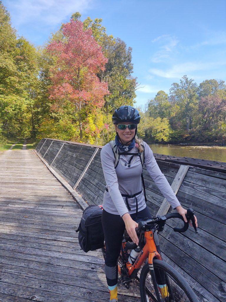
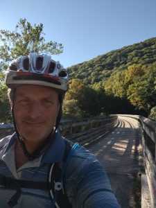
Total length northbound was 80 miles. Our intention was to hit the top section in Cass, turn around and repeat. Going uphill, the grade varies from 1 to 3%.
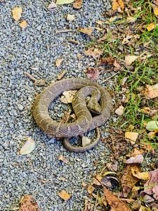
We slept beneath the stars that evening and were awakened in the middle of the night to the thundering crash of trees into the river. it wasn’t until the next morning we realized it was beavers.
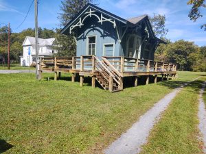
There are always vestiges of the rail line.
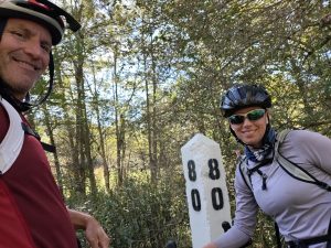
We made it to the end of the line and then it was time to turn around and head south. This day was going to be a long one though.
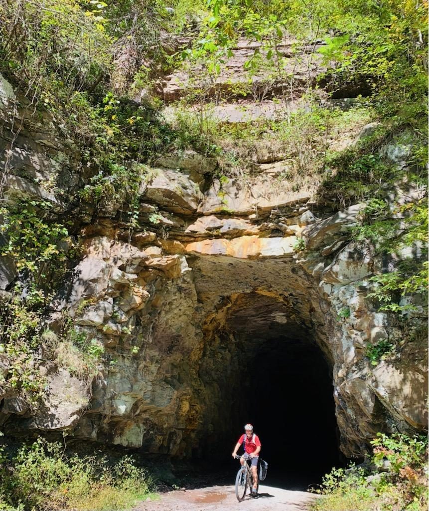
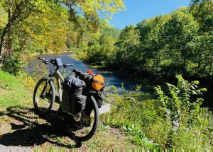
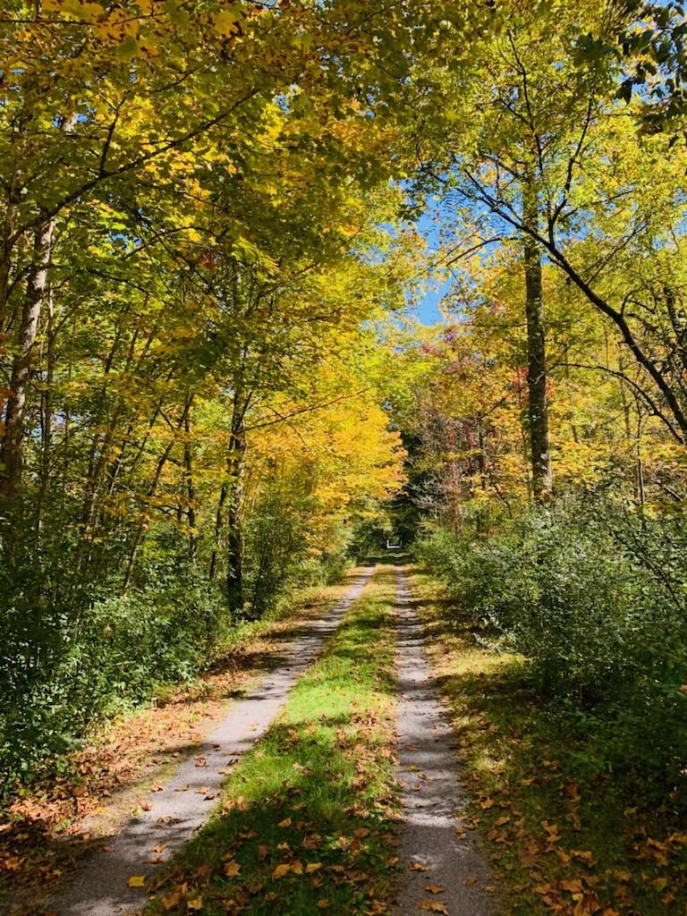
By the time we reached another empty campsite we were too tired to even start a fire. We’re even too tired to cook a meal. But I slept like a log.
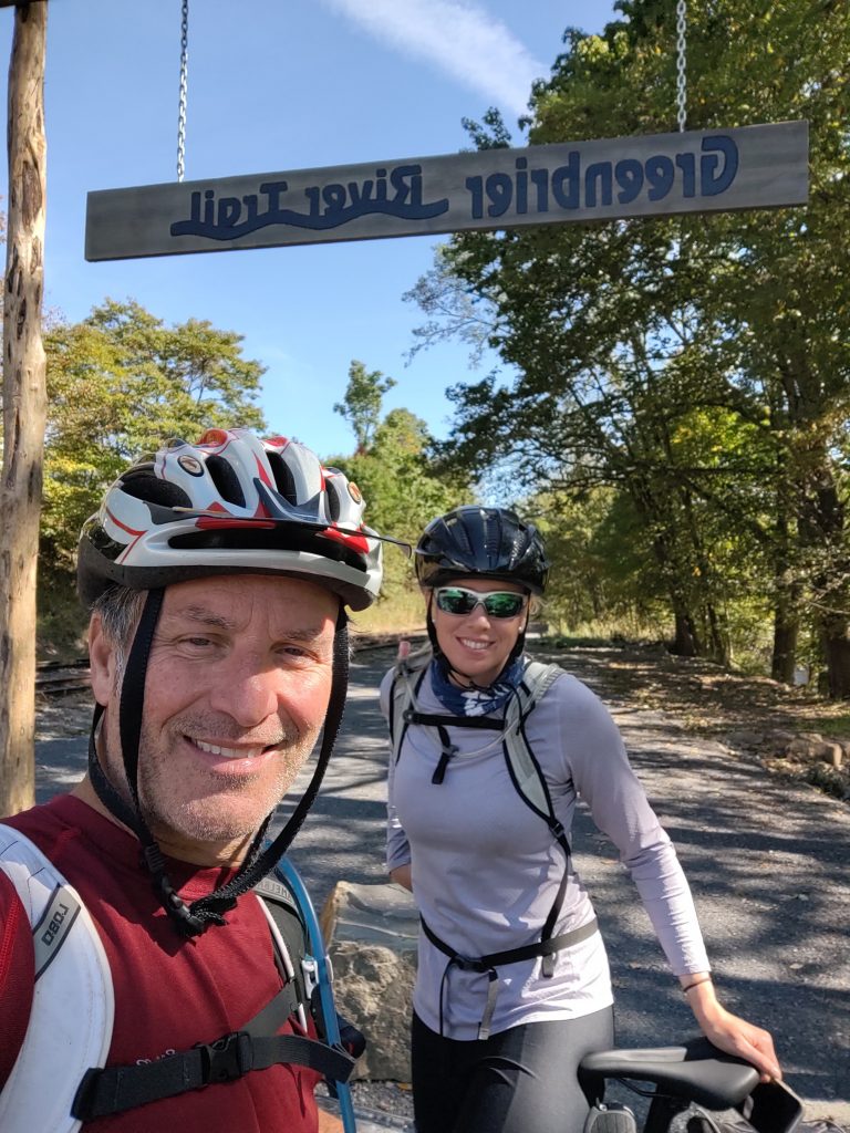
The final day saw us just doing about 25mi out.
We must end with a song as cool as this trail itself.
It was almost heaven, West Virginia. But that’s not the song you’re going to hear below. Thank you for the beautiful weather, the great company, the perfect riding ,solitude, the animals, The outdoor experience. Glorious Fall has arrived.
Laurel Gap
The flying sausage decided we needed to drive to Laurel Gap. By the time you deal with I-40, Heintooga road and Maggie Valley it’s 3 hours from my house.
But I was fortunate to have the company of one Grady. We ascended the Balsam Mountain Trail.
It’s 1500 ft and 4.2 mi to the shelter, in the light sprinkling rain. And the shelter was full. Which made me glad I brought my tent. Snug we were in the shadow of the hemlocks. Away from the snoring masses.
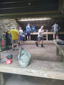
There to greet us was Jimmy Dean, Steve Mcqueen, Dwight and Robert Carver. And 10 other of our closest friends, who all bedded down at 7:30.
Hiker midnight came super early at Laurel Gap. But not for me and Grady and Dwight. We greeted the stars well into Highlander midnight.
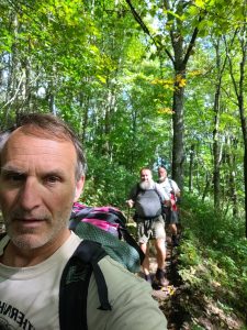
As a result of Dwight’s late night activities, he was unable to complete their anticipated loop,and Sunday morning found them dependent upon me and Grady to ferry them back around to their car at Big Creek.
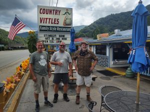
But not before a stop at one of our favorite dining establishments in the Maggie Valley. Martin would be proud.
It was a quick hit weekend trip but a lot of fun was had.
The weekend before I was at the Obed for Trail days. This is a place where a lot of volunteers put in countless hours to maintain a national Park service resource. I’ve been able to participate in many Trail days over the years. This year we put up the new sign for the parking at South clear.
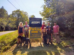
The East Tennessee climbers coalition does a magnificent job.
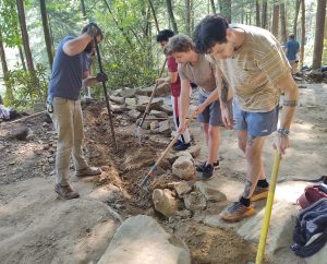
There were probably at least 70 volunteers that day. Projects completed include trail work, litter pick up and of course the South clear parking lot project. Then of course we had some climbing that afternoon.
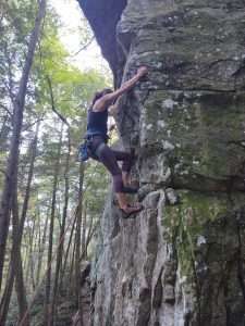
I can’t think of a better way to spend a couple of days. It was also the only dry weekend I had in two months.
I would like to speak a little bit more about the covid. Many of you know that I had a breakthrough infection after vaccination. I was fully diagnosed with covid pre vaccination in December. That was 2 weeks of flu like symptoms, and complete isolation over the holidays. In addition to missing work and an AT hiking trip with Brian.
So I was first in line to get vaccinated with moderna in February. You may recall that I started getting sick at Richard’s hike a couple of weeks ago. And this bout was worse than the first. They say the chances of getting reinfected are almost astronomical. Well I guess you can say I’m good at beating the odds. I shudder to think at what may have happened had I not been vaccinated. Actually I know what would have happened. I would have been on a ventilator at UT hospital in a hallway probably.
A very good friend of mine lost her mother this week to the virus. She was un vaccinated. 1500 people per day are dying from this virus. So far we’ve lost 600,000 Americans. Yet we still hold super spreader events like UT football games. People still argue about the efficacy of masking. And folks who have no problem taking polio and many other vaccines, suddenly think they’re going to be computer chipped with the covid version.
I still have people say things to me like I probably got the covid because of my altitude exposure. What they’re really doing is trying to find some reason that a healthy person like myself would catch this plague. And they want to be able to fit the Fox news narrative that people who get covid really have underlying problems.
I don’t.
If you’re watching Fox news and News Max, understand that the people spouting this propaganda to you are vaccinated. So good luck with your ivermectin.
2 Corinthians 4:4. the god of this age has blinded the minds of unbelievers so that they cannot see the light of the Gospel that displays the glory of Christ who is the image of God.
Hats off to Hatten-Richardpalooza
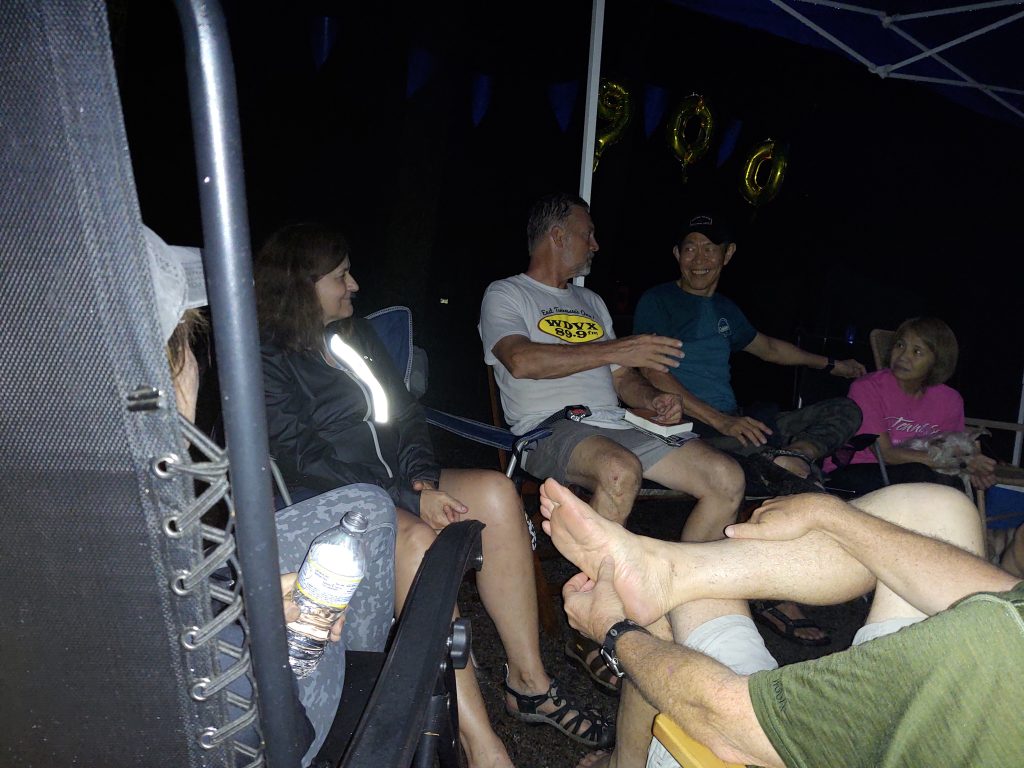
Richard and Keene tell stories of their many years and 900 miles through the Smokies around a rainy camp in Elkmont on Saturday evening.
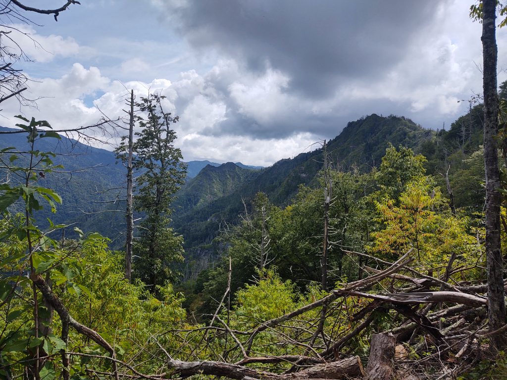
We woke early Saturday morning to embark on a shuttle ride up to Clingmans dome so we could drop down Sugarland Mountain trail 14 miles. My allergies were giving me a hard time but once I got on the trail things felt wonderful. I believe there were 12 of us on the shuttle.
The weather was fantastic and the views breathtaking. I enjoyed listening to Laura speak of Richard’s selflessness on her hikes with her. He was always first in camp to start a fire and provide food for everyone, as was the case this time. I concur, he’s a pretty good dude. This meetup crew is a varied group. I got to know them through JD but mostly of late, through Richard and Kelsie, which is how they met. I had to dig deep to find this, from when I finished my miles many years ago. http://southernhighlanders.com/SETTLETHIS.htm
Richard had tasked me and Patrick to find the start of the manway up from the Chimneys which intersected Sugarland mountain. I had written a story for the Farragut/Northshore Magazine about this offtrail several years ago. Here is a link to that. http://southernhighlanders.com/Chimneyscan.htm I’m going to post a link from past Highlander epics when we did this.
However, Richard pulling up the rear, never arrived. And after 45 minutes Patrick, Laura and I shoved off on down the trail.
I was sick here and didn’t even know it. Much more on that later.
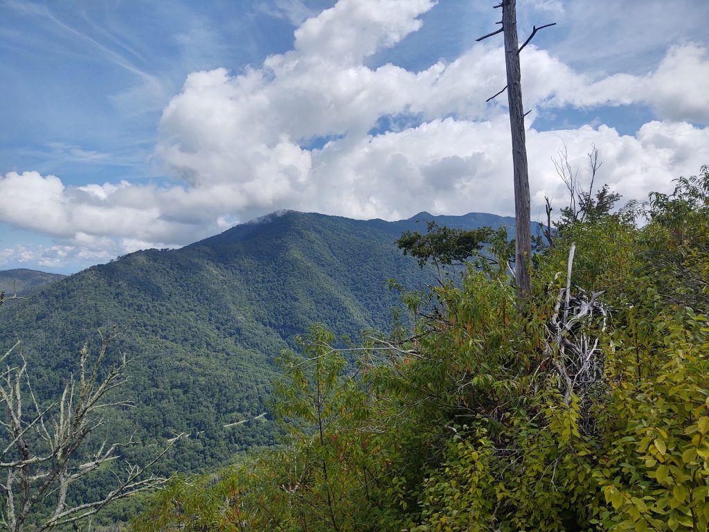
The wildfire went from here clean over to the bullhead. I had not walked this trail since.
We gave up on waiting for the rest of the team as Patrick, Laura and I were running down the trail. Kelsie was with the other group helping Keene finished his last miles over on Meigs Creek.
We finally got to the bottom of Sugarland Mountain after about 13 miles. Laura was sitting on a log waiting. Storm clouds were gathering so it was decided that Patrick and I would hike two miles around into Elkmont and retrieve a rescue vehicle. And then the sky opened up.
Big time. I should have just walked through the creek into the campsite. Instead we shortcutted through the Wonderland hotel, or what remains of it.
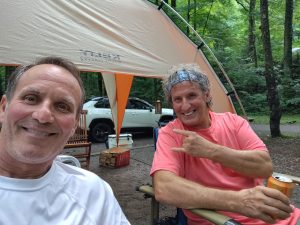
Guess who pulls into the campsite? I feel it appropriate to post a link to when JD and I first met on the trail many years ago. He was over on LeConte doing some miles as we were sweating down from the “dome”. Still the issue remained of rescuing everyone over on Sugarland Mountain. So we assembled a convoy and headed back that way. After I changed into dry clothing of course. By now I was feeling less good than before. I thought that the hike had just worn me down now we’d done almost 15 miles.
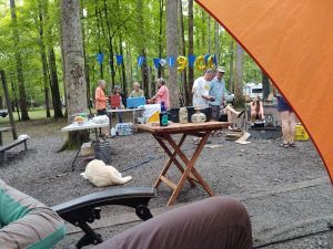
Keen and his group beat us back by several hours. A big party was going to happen that evening with barbecue, buck dancing and all sorts of shenanigans. We had probably 23 people there.
I could feel myself starting to go downhill. Those allergies were really kicking my butt
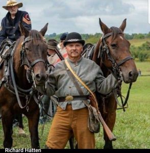
It started sprinkling off and on. As we socialized and visited around camp, our companion, the rain, paid visit. I can feel myself sinking lower and lower into my outdoor chair. After dinner I indulged the need to retire to my tent. This was about the time the dancing portion of Richard’s party initiated. I’m very proud of them for finishing their miles in such style. If you are interested in renting Richard for the weekend he is available for weddings and Bat Mitzvahs. His stage name is Gen. Beauregard and he will entertain your family, work gathering or bachelorette party in true Southern style. That includes hatchetry, woodsmanship and feats of strength. Here is a publicity photo for those interested.
I awakened early the next morning. It didn’t take long for me to realize that this was more than allergies. When Kelsie came out of her tent, I informed her of my intention to stay distant from the group. This meant skipping the much anticipated breakfast for which we had contributed provisions to include Benton’s bacon.
I was achy and not from hiking. My head was swollen, my sinuses enlarged. This feeling was all too familiar. I packed up camp and collapsed in Kelsie’s truck. We drove back home with me fully masked. The rest of that afternoon was a complete wash. I could hardly move from the couch. I knew what had to happen the following morning. I was first in line at the health department after waiting 30 minutes to be told that they could not covid test me as I had health insurance. Not that they couldn’t put a sign out there like they did the time before. The question everyone needs to be asking themselves is why do we not have free covid testing? This is after all a pandemic. My bill for lab services only through my family Dr is unknown. But I have a 6k$ deductible.
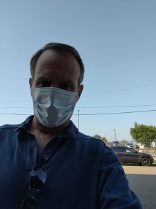
After being turned away from the health department which tested me in December and confirmed my original covid diagnosis, I laid myself at the feet of my primary care physician and begged them to work me in.
The following day I had the results of the PCR test. Covid positive. Again. I was fully vaccinated in March and you will recall that I was fully sick in December. 4 days of flu-like symptoms. Another quarantine, and week’s worth of unpaid missed work. Yes I blame Bil Lee, our derelict governor. He’s too busy pandering to the gun and Fox news crowd to care about the health of his citizens. I developed what they called a breakthrough case. Lucky me. Had I not been vaccinated I think I would probably be on a ventilator in the hospital. 95% of the people on ventilators in hospitals are unvaccinated.
So that’s my weekly rant, oh wait, no it isn’t. You may have heard about the parking fee for Laurel falls trailhead. I certainly have from everyone. So the Southern Forest Watch sent a letter to superintendent Ca$h outlining our concerns. The comment period seems to have been shortened.
This is of course to avoid capturing negative sentiment about the proposal. We’ve been on this rodeo before. They’re just greasing the wheels for more fees for parking at Alum cave and elsewhere. But they need the money to pave Cades Cove road again. (not a pothole on that road, been riding it on the bike on Wednesdays).
Please be safe, GET VACCINATED, wear a mask indoors and quit shaking hands etc. So far, I appear to have infected no one. And we did contact all the folks at the Elkmont event. Praise to the Lord. Understand that if you are afraid of the vaccine, then think about what your children will say when you are on your last breath at UT Hospital as one of the dying unvaccinated. This stuff is serious, it is NO fun and very uncomfortable. I’m so appreciative of Kelsie and Hilary Burgin for looking after me with groceries etc during this second infection.
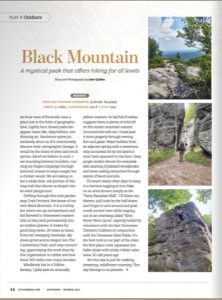
I had a piece published in CityView this week and hope you get to take a look. As you know we have been climbing here for a while and I wanted to showcase the work done by the East TN Climbers Coalition. Thanks to Rebecca Whalen at CityView. https://cityviewmag.com/black-mountain/
Peace. Now for some music. We’re going to go way back to the 70s for this timely piece of masterful guitar/vocal work by Greg Lake.
Baxter, Sterling, Gunter and monsoon
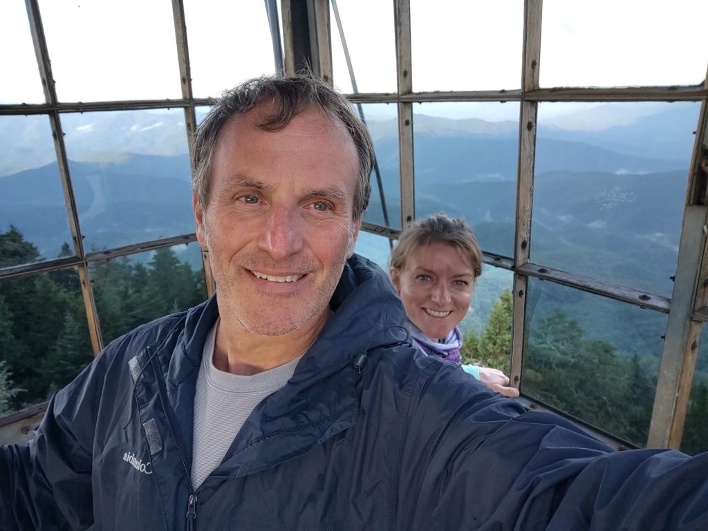
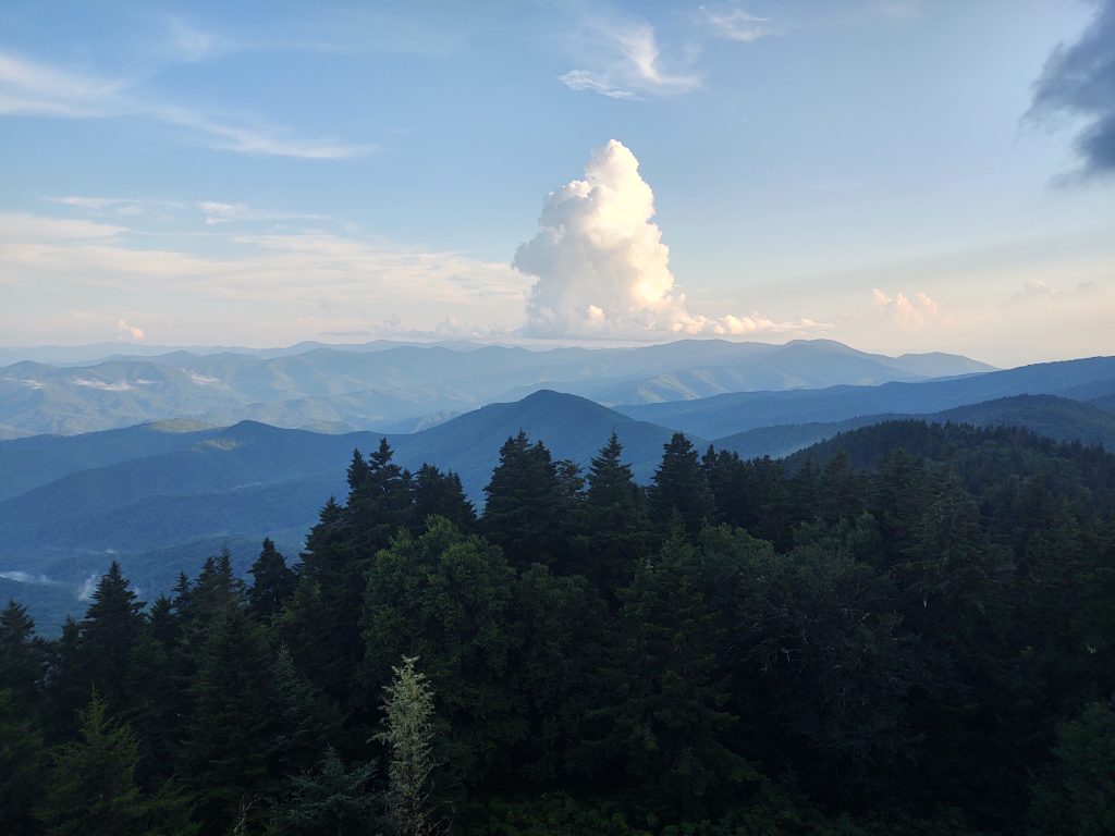
Don’t let the beautiful photograph fool you, we climbed 4,000 plus feet in the monsoon rain to get to Mount Sterling on Friday.
You may recall my friend Marina from the first Gap C&O bike trip. She was riding solo from her hometown in Pittsburgh via Smolensk Russia.
I was waiting for the news report of the bomb.
Apparently the only bomb was a cloud that dumped all of its contents on us as we climbed and climbed and climbed.
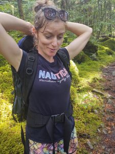
She’s a good sport, but Marina is a former Mountain guide in the Caucasus of Russia.
This is a person who rode by herself from Pittsburgh and followed us all the way to DC then turned around and rode all the way back.
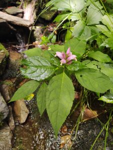
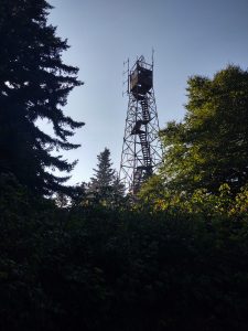
During the times of respite from the rain we had some pretty views.
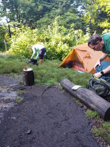
We were joined by a couple and their four year old daughter who climbed that mountain, also in the pouring rain. That little girl is one tough bird. I never heard her cry or complain one time. Most people I know don’t climb Baxter Creek up hill anyway. But this little girl marched on in her crocs, smiling the entire way.
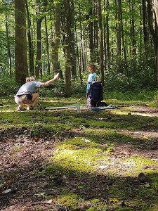
Bryn and Marina were fast friends.
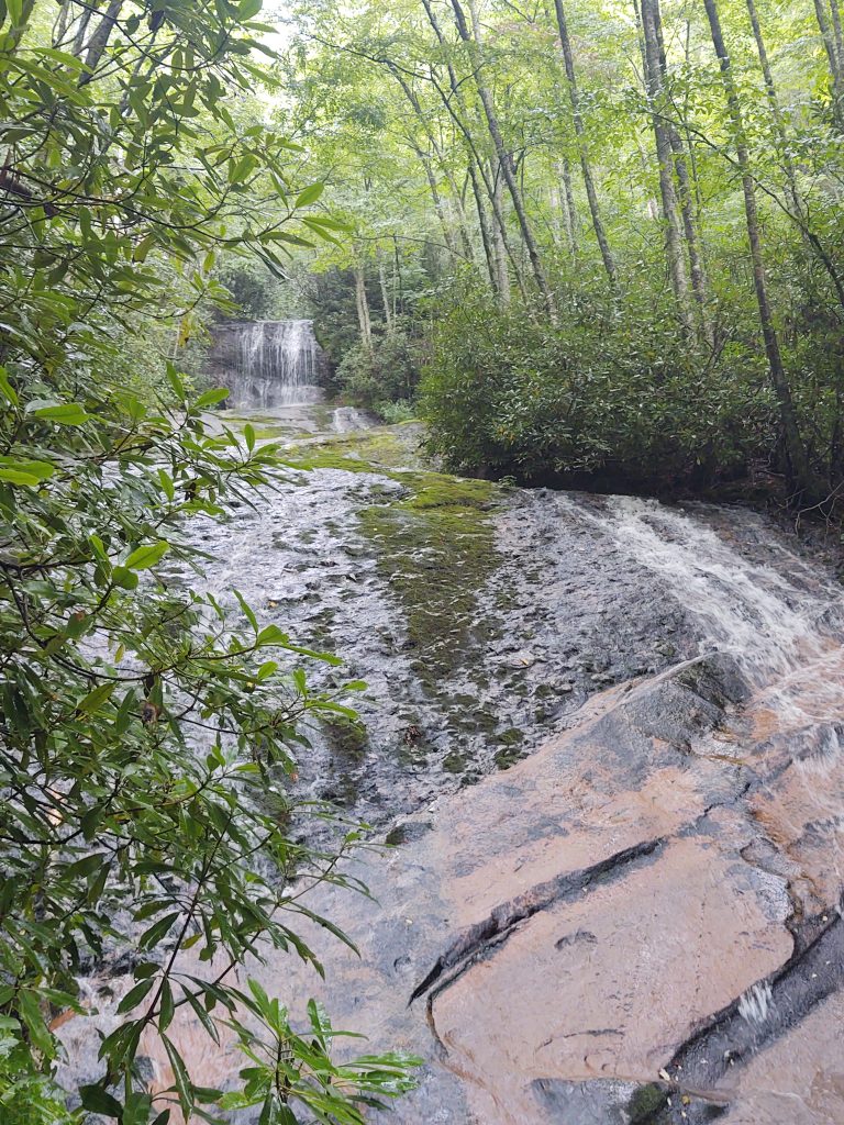
The next day we took off down Mount Sterling ridge and came to the Swallow fork Trail. It probably would have been wise for us to drop down Swallow Fork instead of taking on the rest of Sterling ridge, Balsam mountain and Gunter fork.
But Marina wanted to do some mileage. And why not? She came all the way to Tennessee so I wanted to make sure she got the full Smokies experience. We had barely set foot on the Gunter fork trail right up from Laurel Gap shelter when the second monsoonal deluge began.
One of my favorite swimming holes is at the bottom of Gunter Fork. Marina took full advantage of it as we were already soaked to the bone. It was one of the weekends where you forgo any notion of walking in dry shoes, socks or boots.
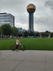
We made it out of the Smokies alive in time to get back the following day to enjoy a bike tour around the city of Knoxville. Of course we were dogged by a rain during that event as well.
I hope everyone is well. Let’s enjoy some music. Can you believe this is Paul McCartney?


